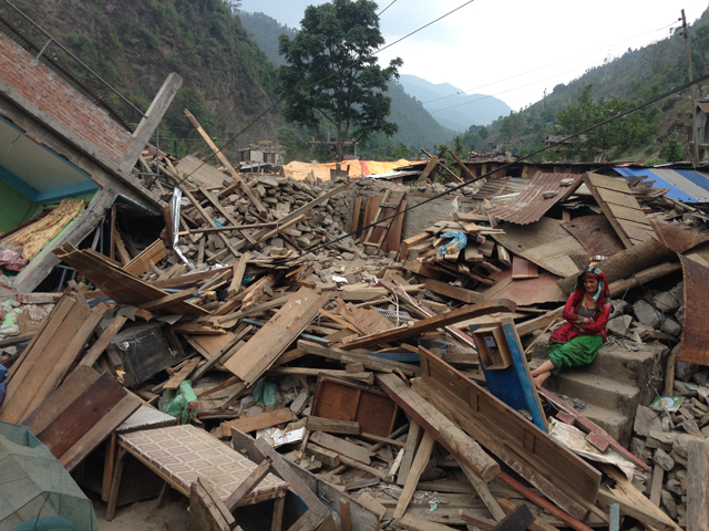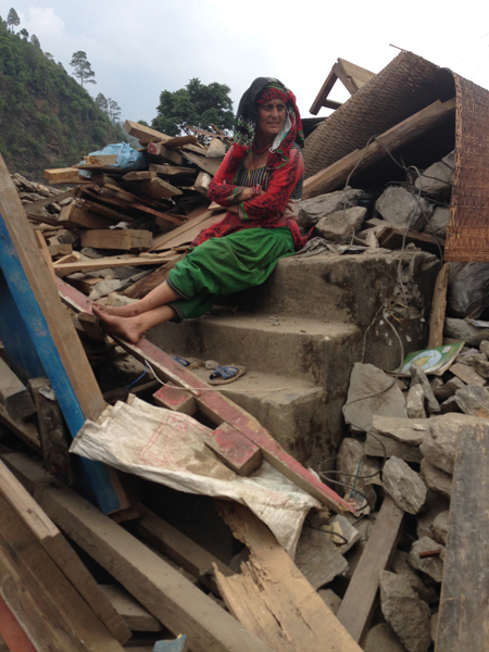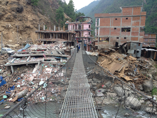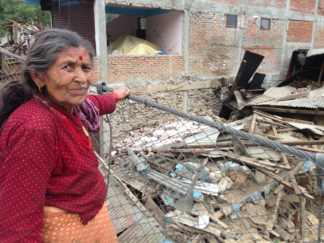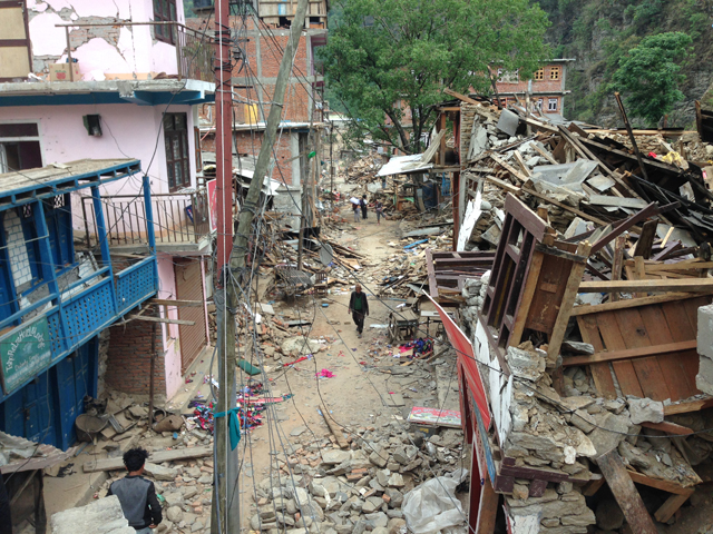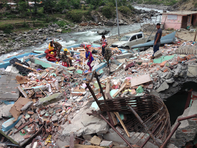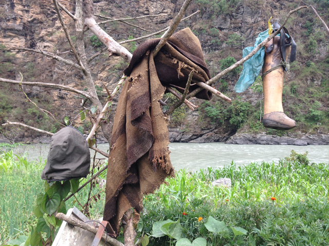
The scenic town of Singati on the banks of the Tama Kosi used to be a stopover for traders going up to Lamabagar near the Tibet border, and for trekkers hiking up or down from the Rolwaling Valley. Then came the Tama Kosi and other big hydropower projects upstream. Suddenly Singati became a boomtown, connected to Charikot and Kathmandu by a highway. It was along this road that relief convoys had come to distribute emergency supplies after the 25 April earthquake. Many of them were caught up in the 12 May aftershock.
Singati after the quake
It is clear that nothing is going to move in this valley when the rains bring the landslide season.
From the archive blog: My City
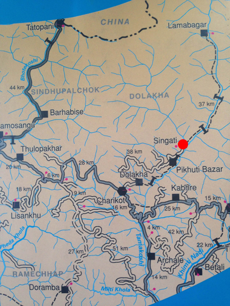
The entire road to the Tama Kosi project site has been wiped off the map, and it is clear that nothing is going to move in this valley when the rains bring the landslide season. Singati Bazar itself has been obliterated, there is the stench of decomposing bodies under piles of rubble -- there is no equipment to remove them. These pictures were taken by Dipesh Khatri of Nyanopan.