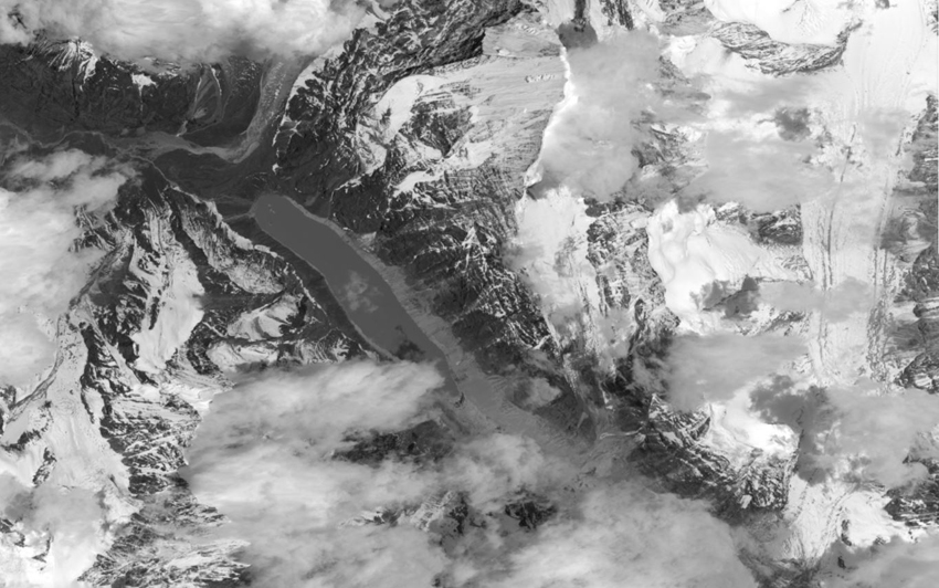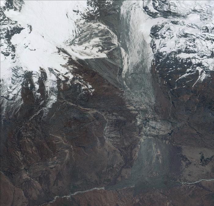

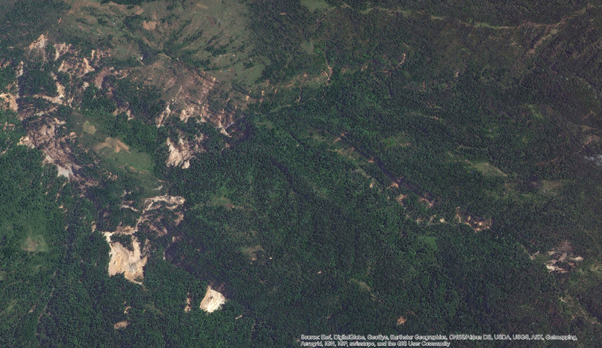
High-resolution satellite imagery can help the country assess hazards from landslides and save lives
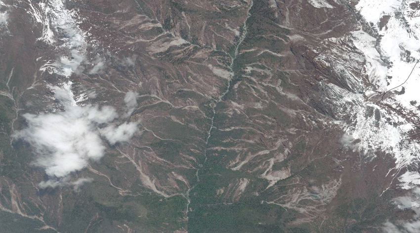
REMOTE SENSING: High-resolution satellite imagery, like this of Helambu on 8 May, can help the country assess hazards from landslides and save lives. Image: Digital Globe, made available by ICIMOD.
The 25 April earthquake and the swarm of high-intensity aftershocks in the past month have made the mountains of Central Nepal highly unstable, and the approaching monsoon rains could trigger landslides and block rivers.
After the earthquake, Nepal must now be prepared for secondary disasters like rockfalls, slope failures, glacial lake outburst floods and avalanches. Early warning could save lives, but how can we monitor these dangers?
An international volunteer team made up of the Kathmandu-based International Centre for Integrated Mountain Development (ICIMOD), the National Aerospace and Space Administration (NASA), the University of Arizona, Chinese Academy of Sciences, the US Geological Survey, British Geological Survey and Durham University have been using high-resolution satellite imagery to map and assess these hazards.
“The greatest risks right now are landslides,” says Arun Bhakta Shrestha of ICIMOD, which has located 3,000 landslides triggered by the quake, many of which could grow in size and destructive capacity.
Landslides mapped in the aftermath of the earthquake. Data until 17 May 2015. Source: NASA-USGS-Interagency Earthquake Response Team, ICIMOD, British Geological Survey/Durham University/Earthquake without Frontiers
Gorkha, Rasuwa, Dhading and Sindhupalchok have the highest number of landslides, and based on satellite imagery researchers now have an inventory of potentially deadly ones with their location and size pinpointed, and if they pose any danger to blocking rivers.
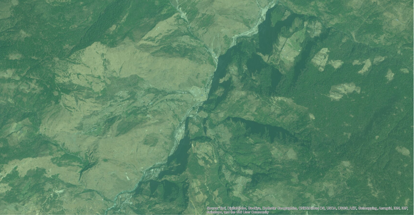
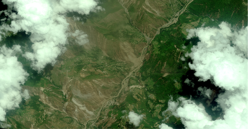
Before after images of Bhote Koshi area. All WorldView Image provided by Digital Globe, made available by ICIMOD.
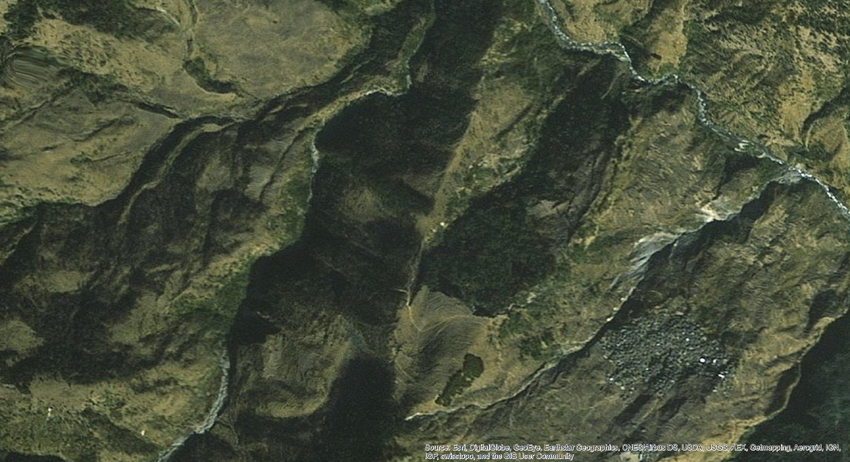
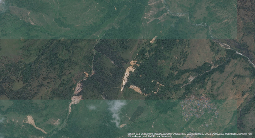
Before after images of Laprak village of Gorkha District.
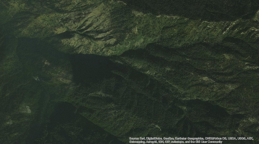
Before after images of Ward No. 5 of Barpak, Gorkha district.
One potentially dangerous landslide after the 25 April earthquake came down on the Marsyangdi River in Lower Pisang Village of Manang district. After analysing this river blockage, Shrestha says researchers created a model for which way the river would flow if the dam was to breach. At the moment, the threat of a landslide is still there if the dam is breached and a more accurate estimate of the volume of water is needed.