
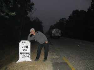
 Nearly half-way point on the East-West Highway
Population growth and migration are soon going to make the Tarai one long metropolitan strip stretching from Kakarbhitta to Banbasa.
Already, traversing the East-West Highway is like driving along an endless city. Tarai towns have spread their urban tentacles along the highway. It is difficult to tell where one town ends and another begins. The roads joining the Indian border with the East-West Highway (Biratnagar-Itahari, Birganj-Patlaiya, Bhairawa-Butwal, Nepalganj-Kohalpur, Dhangadi-Atariya) have become side-streets in the Tarai city state.
To call this a highway is misleading. Everything happens along the ribbons of asphalt: livestock being taken to graze, grain drying in the sun, poachers hauling logs in bicycles from balding forests, diesel tempos banished from Kathmandu Valley plying short-distance routes overloaded with passengers, and bullock carts taking produce to market. In the midst of all this activity are the long-distance buses either screaming through towns like locomotives or stopping by the roadside to allow passengers to drink tea or answer the call of nature, or both.
It is no wonder that there isn’t a day that goes by when there aren't at least a dozen fatal accidents along this 1,014 km highway. When that happens, Nepal’s main road corridor is blocked for days while pidits bargain for compensation with the authorities. Trucks and buses line up for many kilometers on either side. Passengers have stopped asking why the road is closed. They just assume there has been an accident.
This doesn’t even take into account the bandas, like the ten-day closure of Kailali and Kanchanpur this month by those in favour of federalism. And the closure of Dhaulagiri and Gandaki this week, and Bheri and Karnali on Tuesday by those against federalism.
Although they are disruptive to passengers, the highway closures actually give people a respite from the chaos and noise. The passenger volume has now reached a point where Nepal now needs an East-West passenger and freight electric-train artery, with a line going up Bagmati zone joining Hetauda toKathmandu. Our narrow highways just can’t take the traffic volume of a nation of nearly 30 million people.
All the along the highway these days you see workers digging on the side of the road laying bright orange plastic pipes: at first we thought the towns were getting wall-to-wall cable tv. But it is Nepal Telecom’s Indian-built East West Optical Fibre Project, a part of the Asian Information Super Highway Concept that is supposed to bring cheaper phone and internet bandwidth to Nepal. If only they started to work on the railway too.
We can only hope. And pray. On the Charali-Ilam Highway near Budhabare last month, we came across a sign that warned that the bend ahead was “accident prone”. Sure enough, the barrier had been razed by speeding trucks that had recently flown off the road and tried to glide down to the valley below.
What we weren’t prepared for was a line of trucks just after the hairpin. The drivers were handing out Rs 10 bills to a sadhu who had camped there to set up an ingenious drive-by shrine to the 'God of Road Safety'.
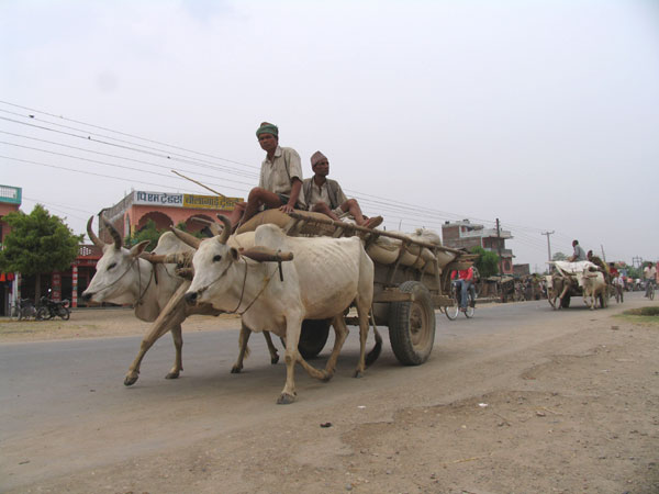 Four legs good, four wheels bad
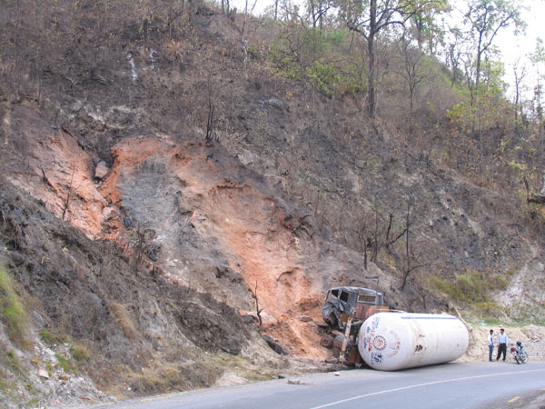 A LPG "bullet" tanker came to grief near Daunne and set half the mountain on fire.
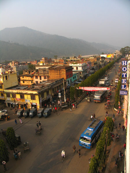 East West Highway goes through Hetauda bajar.
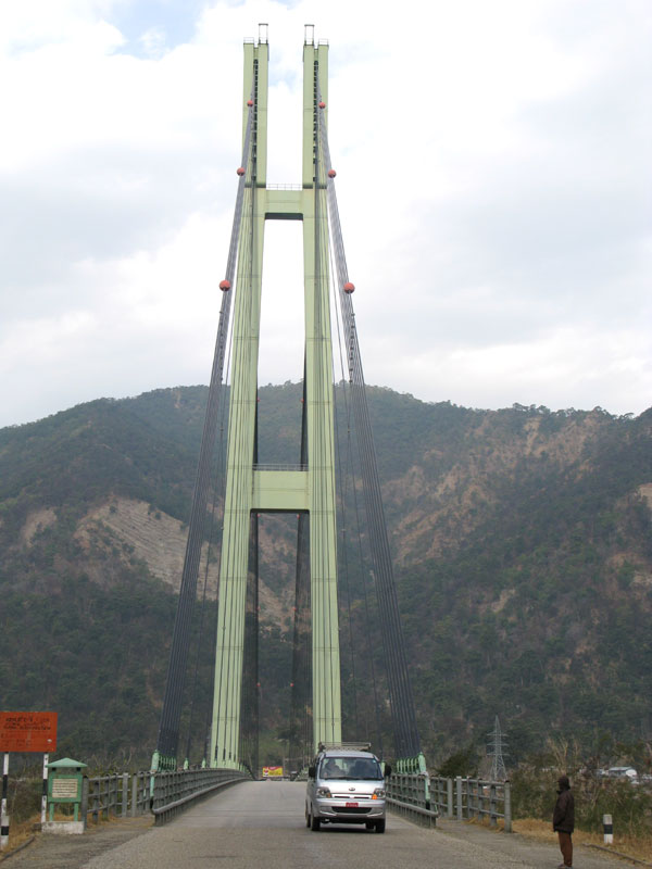 A bridge too far: A state of the art suspension bridge over the Karnali river at Chisapani for a stone age highway
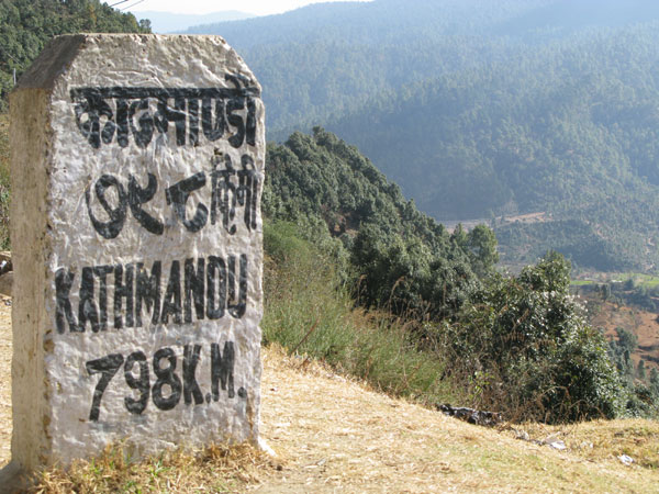 Dadeldhura: just about the farthest you can go by road from Kathmandu