
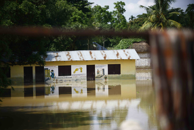
 Photo: Bikram Rai
Ajaya Dixit
Floods have been part of the life and livelihoods of the people living in the Indo-Gangetic plains for millennia, though written historical records of large floods only exist starting in the 17th and 18th centuries. Understanding the hydrology of South Asian rivers is critical to deepening our understanding of floods. The bottom line is that floods occur when a river channel is filled with water. This often happens during the monsoon season, when more than 80% of annual rainfall arrives in just four months. As long as the Himalayan range forms a barrier for rain clouds moving in from the Bay of Bengal, the monsoon will continue to bring floods. Within Nepal, however, there is great variation in the amount and intensity of rainfall.
Recent advances in meteorology and weather system science have helped us to better understand the causes and movements of the monsoonal troughs that create heavy rainfall in different parts of the country. The movement of similar troughs caused the cloudbursts that unleashed catastrophic floods in central Nepal in 1981 and 1993. In 1981, a weather station in Godavari, Lalitpur got 169mm of rain in 24 hours, while in 1993, 540mm of rain fell in over 24 hours in Tistung in the Kulekhani watershed. More than 1,000 people lost their lives in the resulting floods, critical infrastructure like roads, bridges, hydropower stations and irrigation barrages and canals were damaged, and the livelihoods of hundreds of thousands of people were in jeopardy.
Nepalis have always suffered from monsoon floods, and many factors indicate that they will worsen in the future as climate change causes our weather systems to alter and we continue down dangerous and unequal development pathways. Our response to such disasters remains focused on reactive rescue and relief activities, which unfortunately often get politicised. As a society and a nation, we have failed to shift our efforts towards reducing risks by proactively preparing for the next disaster.