
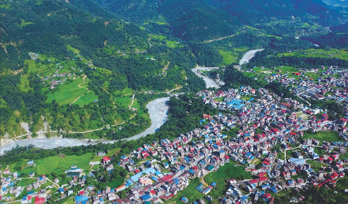
Nepalis are still reeling from the shock of the Bhote Kosi-Trisuli flood disaster three weeks ago. Some 1,400 bodies have been found but only 104 have been identified and handed to families. Over 6,000 are still missing.
It is now becoming clear that the high death toll was due to densely populated market towns along the road corridor, and a dozen hydroelectric plants on the Trisuli basin. What happened in Rasuwa-Nuwakot-Dhading is now making people living along other glacier-fed rivers in Nepal apprehensive.
An important lesson from the 26 August disaster is to go back to the traditional wisdom of not living along floodplains. Experts list towns across Nepal that would be at risk if a 100m surge like the one that came down the Bhote Kosi happened on other rivers.
The towns most at risk, they warn, are Beni, Besisahar, Damauli, Bahrabise, and Manthali.
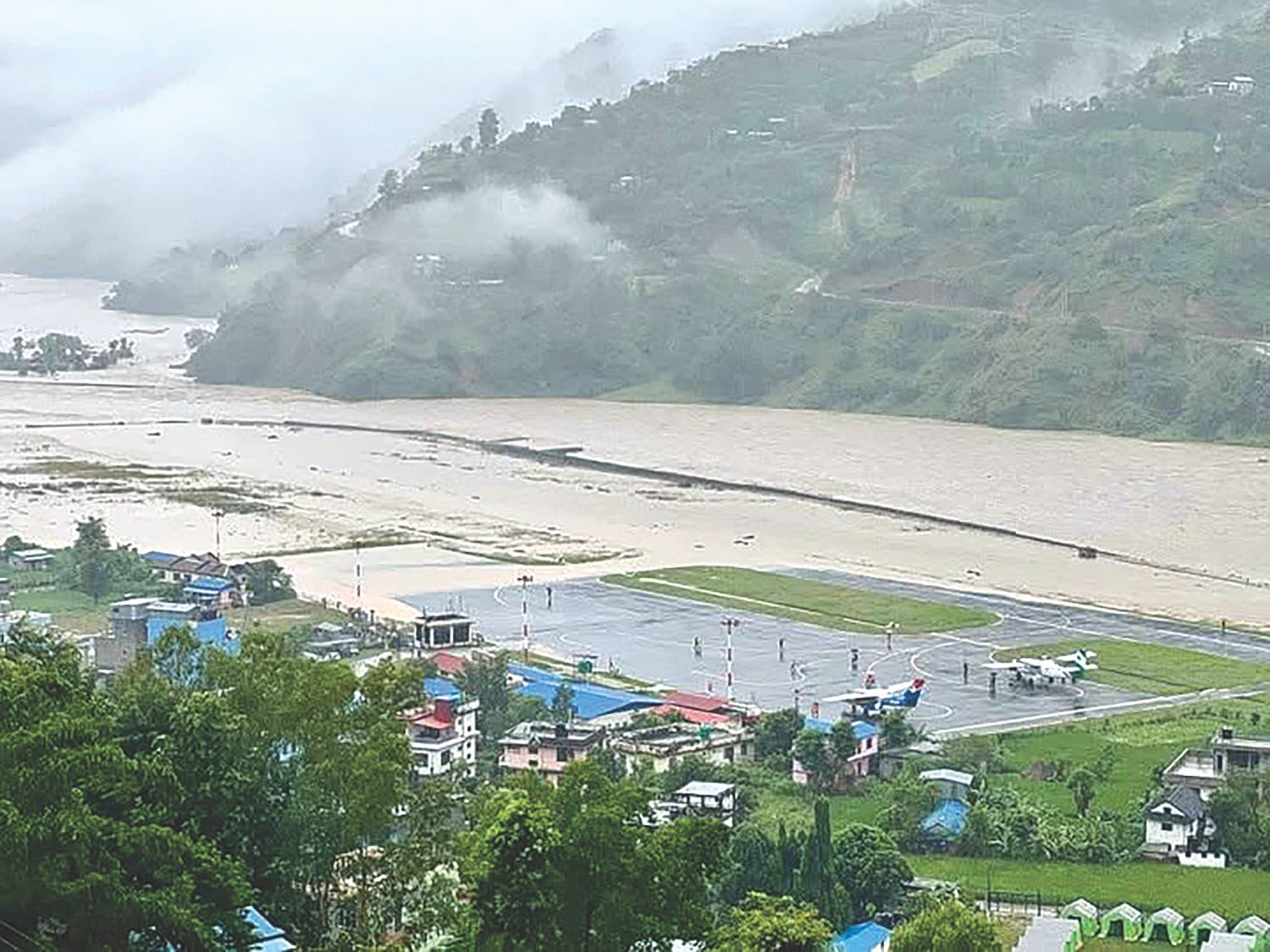
Says climate expert Ajaya Dixit: “We urgently need an inventory of settlements at risk. They are everywhere from east to west along the Tamor, Arun, Sunkosi, both Bhote Kosis, Marsyangdi, Budi Gandaki, Madi, Seti, Kali Gandaki, Myagdi, Karnali.”
He adds: “At the same time, we must also understand the historicity of the place, how we came to live along the rivers, following the roads and other economic activities. And also historical relocation to the lower valleys.”
The Bhote Kosi-Trisuli corridor was so heavily populated because it is close to the load centre in Kathmandu and the site of Nepal’s oldest and newest hydroelectric plants that exploit the steep river gradient. The hydropower plants and better access brought in workers, shops, and the market towns flourished with trade and tourism with China.
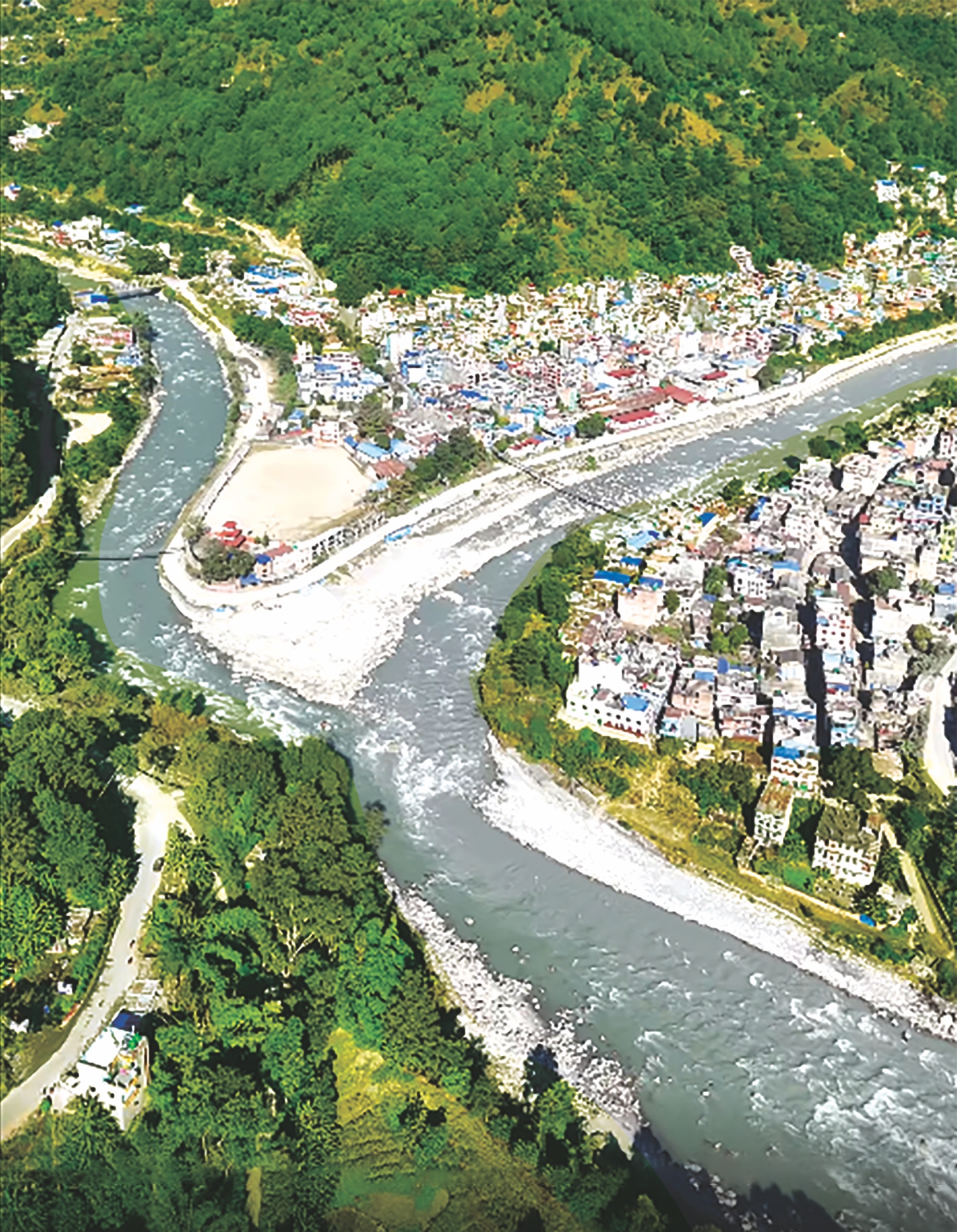
“After this disaster, we can say that even places along rivers we thought were safe are not safe because the flood wave topped 100m in places,” warns glaciologist Tenzing Choegyal Sherpa. “Relocation is not easy but after this flood, even the locals have become aware of the risks. We should urgently demarket these towns that are on the riverbanks.”
The big challenge now is for the national, provincial and municipal governments to muster political will to relocate established riverside towns. Those in Betrawati and Bidur may move because they have seen what a river can do, but it will be difficult in other towns.
“Resettlement comes with its own set of issues including resources, the willingness of the people to move. But we must make some trade-offs,” says watershed expert Madhukar Upadhyay. “But it is a political issue and cannot be done without political consensus.”
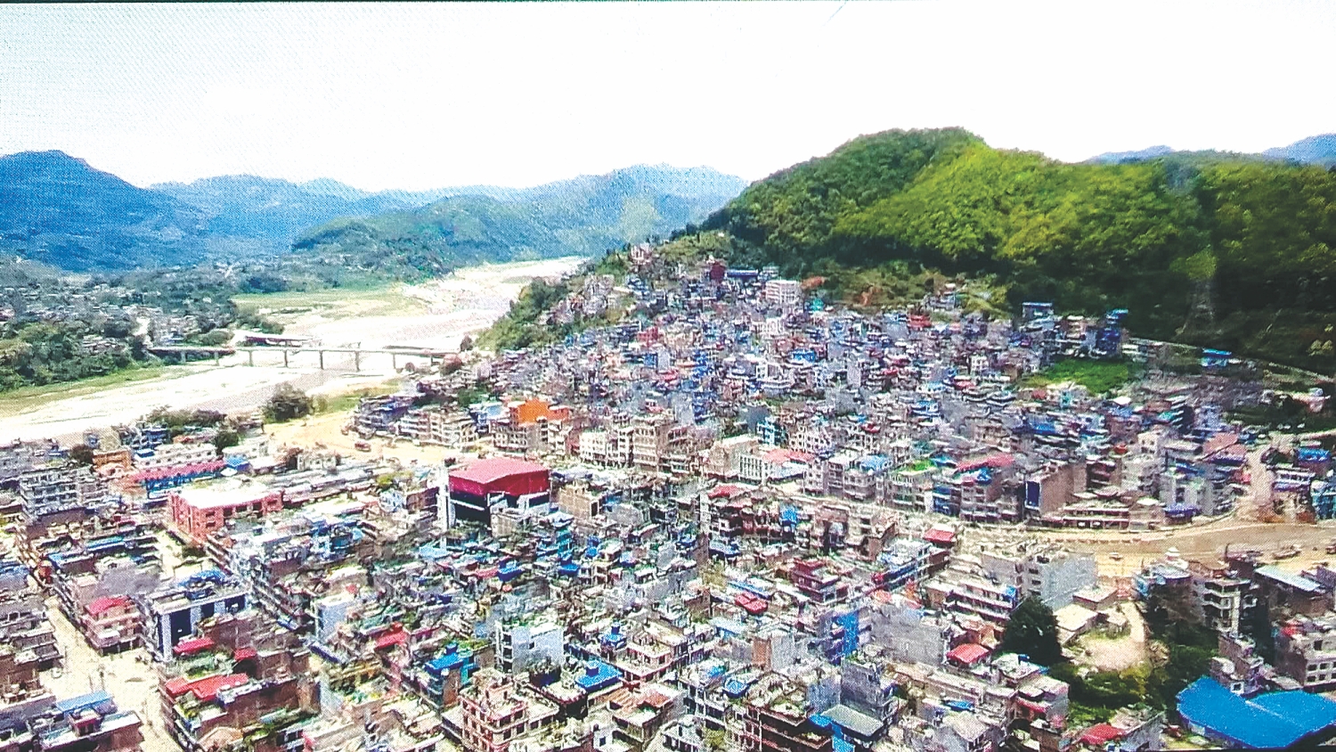
Nepal is a multi-hazard country and preparedness should be its first line of defense. But while experts say that we haven't integrated our geography, geology, hydrology, climate and biodiversity into our modern way of development or social context, identifying risk-prone areas and enforcing zoning laws to build on higher ground could be a start.
Adds Tenzing Choegyal Sherpa: “This is the perfect time to plan wisely and implement zoning laws taking potential hazards into account. We have to do it now when the damage is still visible and before we forget and start settling along the floodplains again.”