
The holy Bagmati River is in the news this week because of the eviction of settlements along its banks, but that alone will not revive the river and its tributaries that are ancient symbols of the Kathmandu Valley civilisation.
I have stood at Pashupati and watched the Bagmati flow past, a river that looks like it is not alive anymore. The stench is overpowering and stays with you long after.
Priests were performing funerary rituals right next to where sewers entered the river. Devotees cup that same water in their hands. I was a student then, and did not fully understand what was happening.
Things have improved somewhat, but the broad free-flowing Bagmati is still essentially a channeled sewer. Now, years later, researching water quality for a living and understanding the policy failures that lead to such desecration, I am even more worried.
The Bagmati is the most sacred river in the region, and also the most polluted. Those two factors co-exist and we have normalised the contradiction. Every Shivaratri, Hindus from Nepal, India and across the world flock to worship at Pashupati and the river.
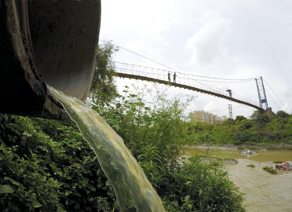
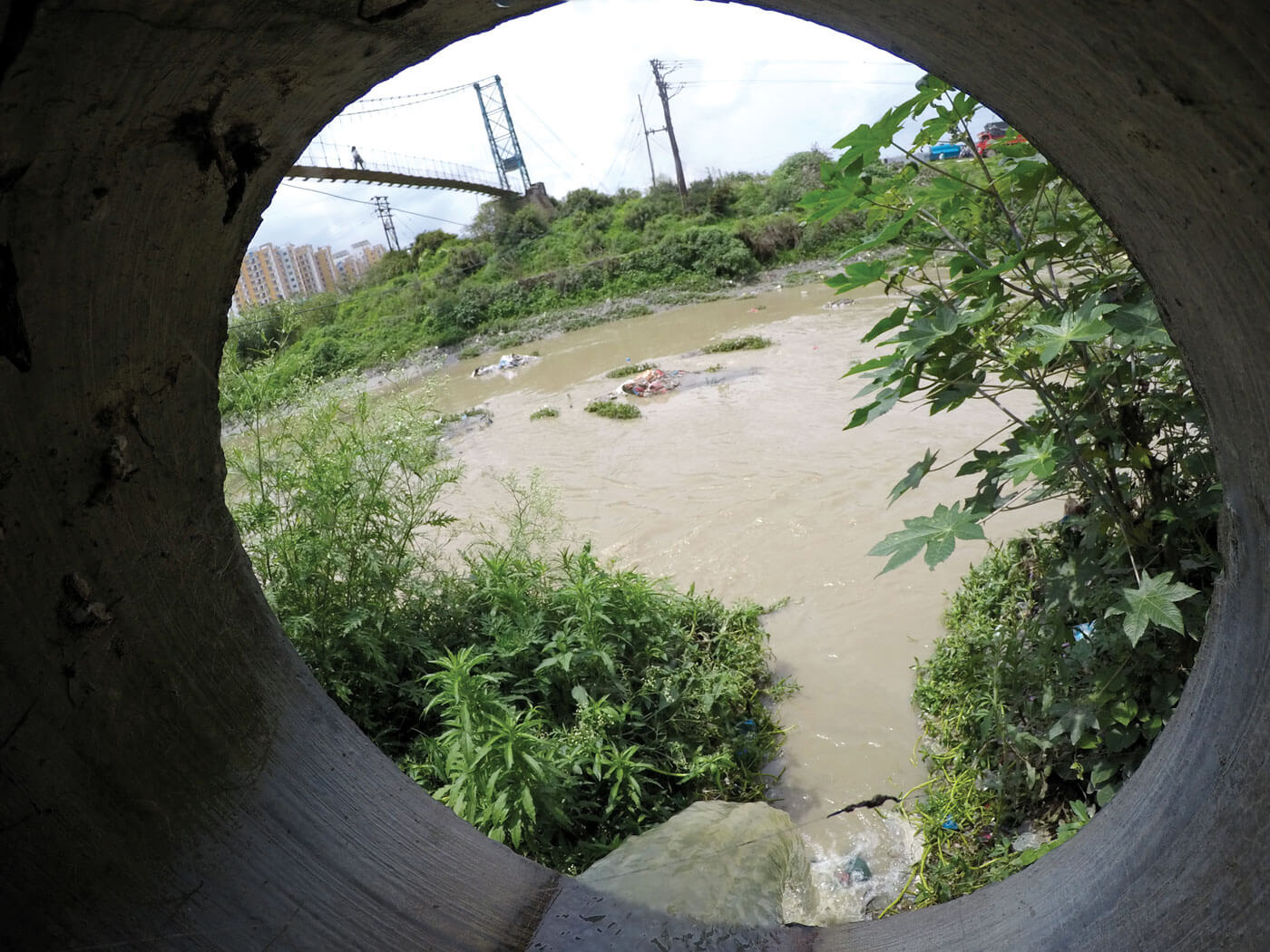
The numbers are numbing. More than 95% of wastewater in Kathmandu Valley is discharged into the Bagmati and its tributaries without treatment. Of that, 93% is domestic sewage — liquid waste flowing out of homes, apartments, restaurants, and hotels, not just factories.
A 2023 research found 615 coliform bacteria colonies in sites along the river, and nearly 80% of those bacteria were resistant to common antibiotics.
This is no longer an environmental issue — the presence of antibiotic-resistant pathogens in a river is still actively used for bathing, ritual practice, and daily contact represents a serious public health concern.
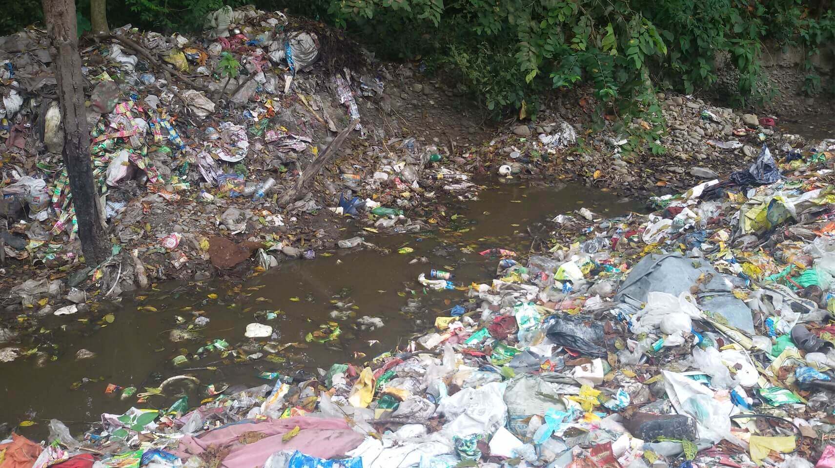
We have been spending money to fix it. The Asian Development Bank (ADB), the OPEC Fund, and the Nepal government have spent $136 million in restoring the Bagmati over the years. Volunteers have pulled out more than 20,000 metric tonnes of physical waste from the river since 2009. Yet pollution levels continue to worsen.
The investments are real, results are not. And a significant part of the problem lies in how the river is monitored. At present, water quality is assessed through manual field sampling at a limited number of locations, conducted a few times each year.
This approach, while scientifically useful, is inherently constrained. The river changes every single day. Pollution spikes after rain, and discharge patterns shift by season. A handful of field measurements cannot capture any of that.
EYES IN THE SKY
This is where satellites come in. Several earth observation satellites pass over Nepal continuously, and their data is free to download. The European Space Agency’s Sentinel-2 satellite revisits the same location every five days and can image a river’s surface at 10m resolution to detect turbidity, algal growth, and sediment load across the entire river in a single pass.
NASA’s Landsat series has been operational since the 1970s, and provides 30m resolution imagery every 16 days and has decades of historical data that could let us reconstruct how the Bagmati’s condition has changed over time.
The NASA MODIS sensor offers daily observations and is useful for tracking broader seasonal trends.
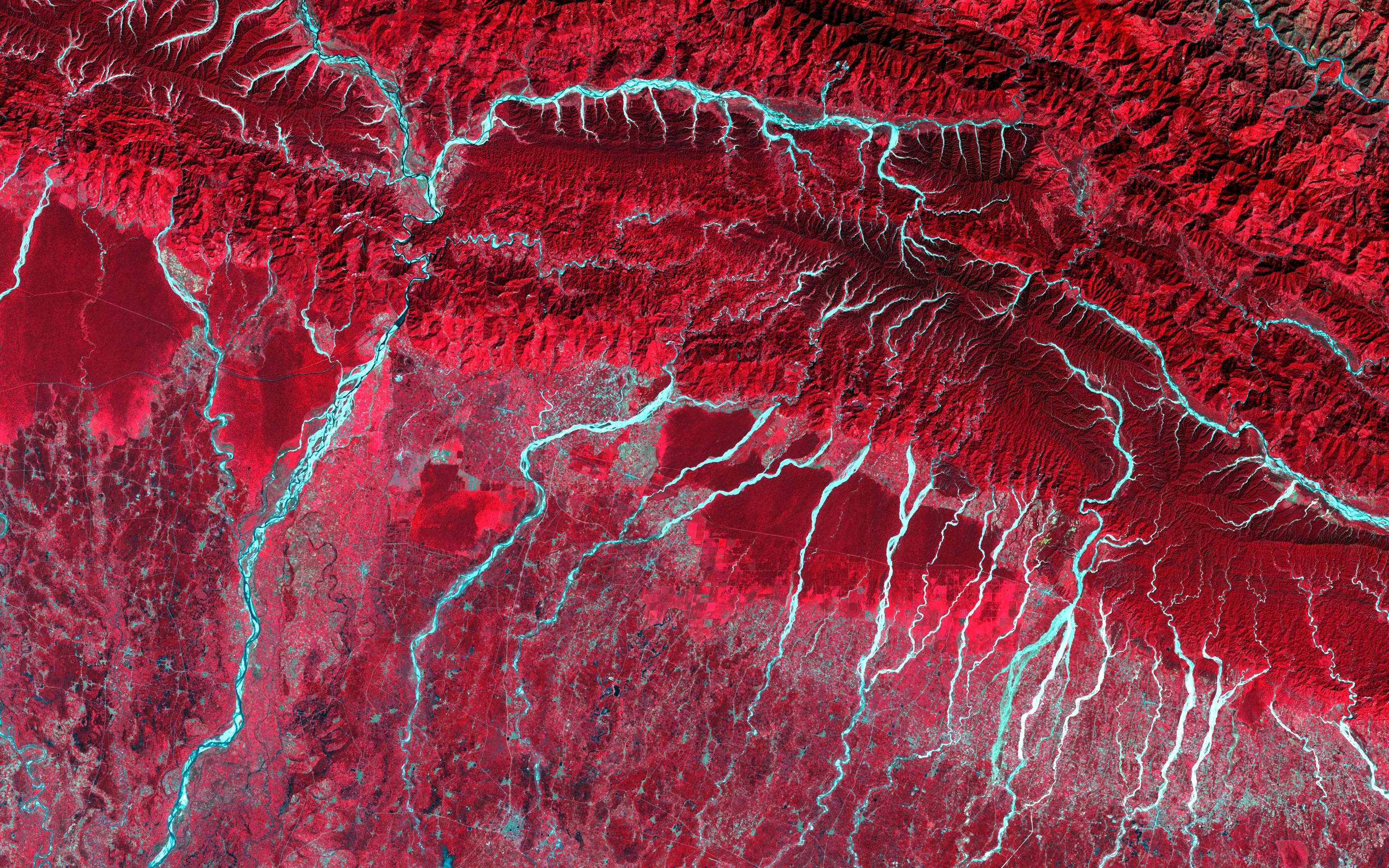
And NASA’s newest PACE satellite carries hyperspectral sensors that can detect water chemistry at wavelengths the human eye cannot see, including dissolved organic matter and specific types of algal pigments.
As a researcher who works with several of these satellite images in the context of US water quality monitoring, I can speak to both their capabilities and their limitations. The technology is not experimental. These systems are proven, operational, and in most cases freely accessible.
Countries like India and Bangladesh are already integrating satellite monitoring into their river management systems. Nepal has a scientific community capable of doing the same. What has been absent is institutional coordination and commitment.
Satellite observation does not replace field measurement. Ground-based sampling remains essential for calibration and verification.
The value lies in combining both: satellites provide spatial coverage, frequency, and historical context that field teams alone cannot match, while field data ensures accuracy and interpretability.
The Department of Hydrology and Meteorology, the Ministry of Forests and Environment, and Kathmandu Valley municipalities can come together to use freely available satellite systems that could provide near-continuous, basin-wide monitoring.
Additional investment in wastewater treatment capacity is necessary but not sufficient. Effective intervention requires knowing precisely where pollution loads are highest, how they vary across seasons, and how they move through the catchment.
Remote sensing can provide that foundation. Without it, restoration efforts will remain reactive rather than informed.
The Bagmati carries deep cultural and spiritual significance for the Nepali people. It deserves a monitoring system worthy of that significance. The tools exist. The data is free. What remains is the will to use them.
Sumit Mahato is a PhD candidate in environmental engineering at the University of Cincinnati in the United States.