StoryMap by Ramesh Bhushal
Unlike other rivers in Nepal, the Karnali is not regarded as auspicious because of the mistaken belief that it originates in Lake Rakshyas in Tibet. Unlike the holy Lake Mansarovar nearby, Rakshyas translates as the ‘lake of the demon’ because of its association with Ravana.
There are two places considered the real sources of this great 1,100km river. A spring in Mapchu Chungu in Pulan County is taken as the religious origin, while the geographically longer point is actually in the Garuda Valley below the imposing Mt Gurla Mandata.
Read also:
Part 1: Faith to reality
Part 2: Dams and dreams a journey down the Karnali
This region around Lake Mansarovar off Nepal’s northwestern tip in Tibet has religious as well as geological significance. From the four sides of the holy Mt Kailash originate four of Asia’s great rivers: the Indus, Ganga, Brahmaputra, and Karnali.
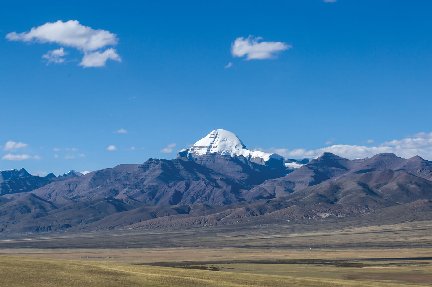
The lake, mountain and rivers are revered by the Hindu, Buddhist, Bon and Jain faiths. Hindus try to make a once-in-a-lifetime pilgrimage to Mt Kailash, but inaccessibility makes it hard.
One morning in late September, as an orange lozenge of a sun rose from behind the mountains, Indian pilgrims chanted prayers to Shiva on the shores of Lake Mansarovar.
We had arrived here from Kathmandu via Kerung, riding west on the Tibetan Plateau along the Brahmaputra, admiring the rare view of the Nepali Himalaya from the north: Ganesh, Manaslu, Annapurna, Dhaulagiri.
Read also:
Part 3: Climate denial in the Himalaya
Part 4: Dancing with the river
Part 5: A Karnali portrait
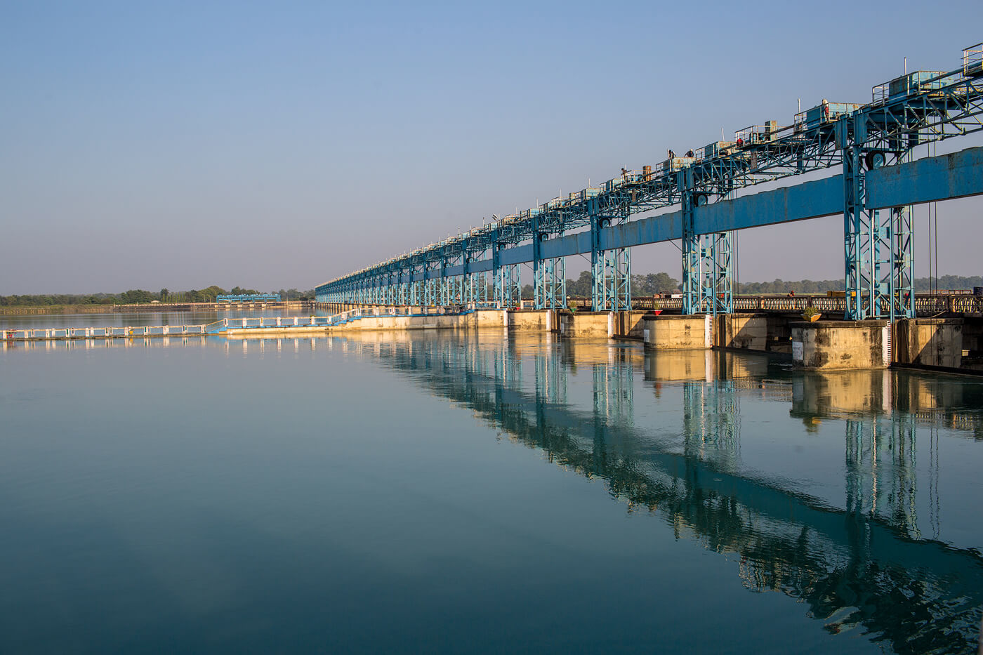
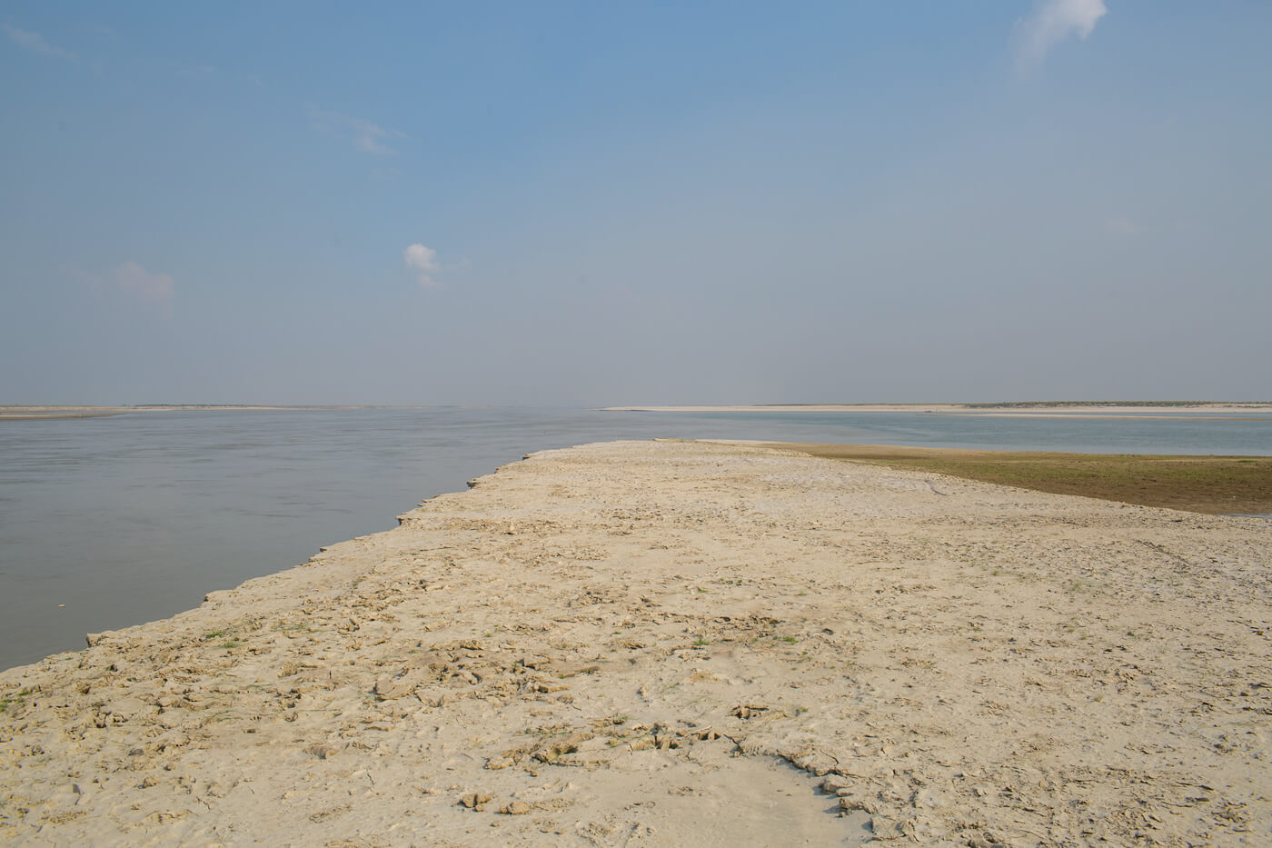
Our mission was to explore Nepal’s longest river from its source in Tibet, through Humla to Kailali in Nepal, and then into Uttar Pradesh and Bihar in India where the river joins the Ganga.
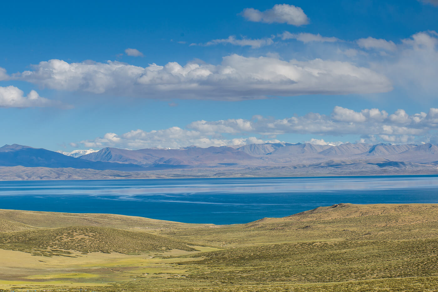
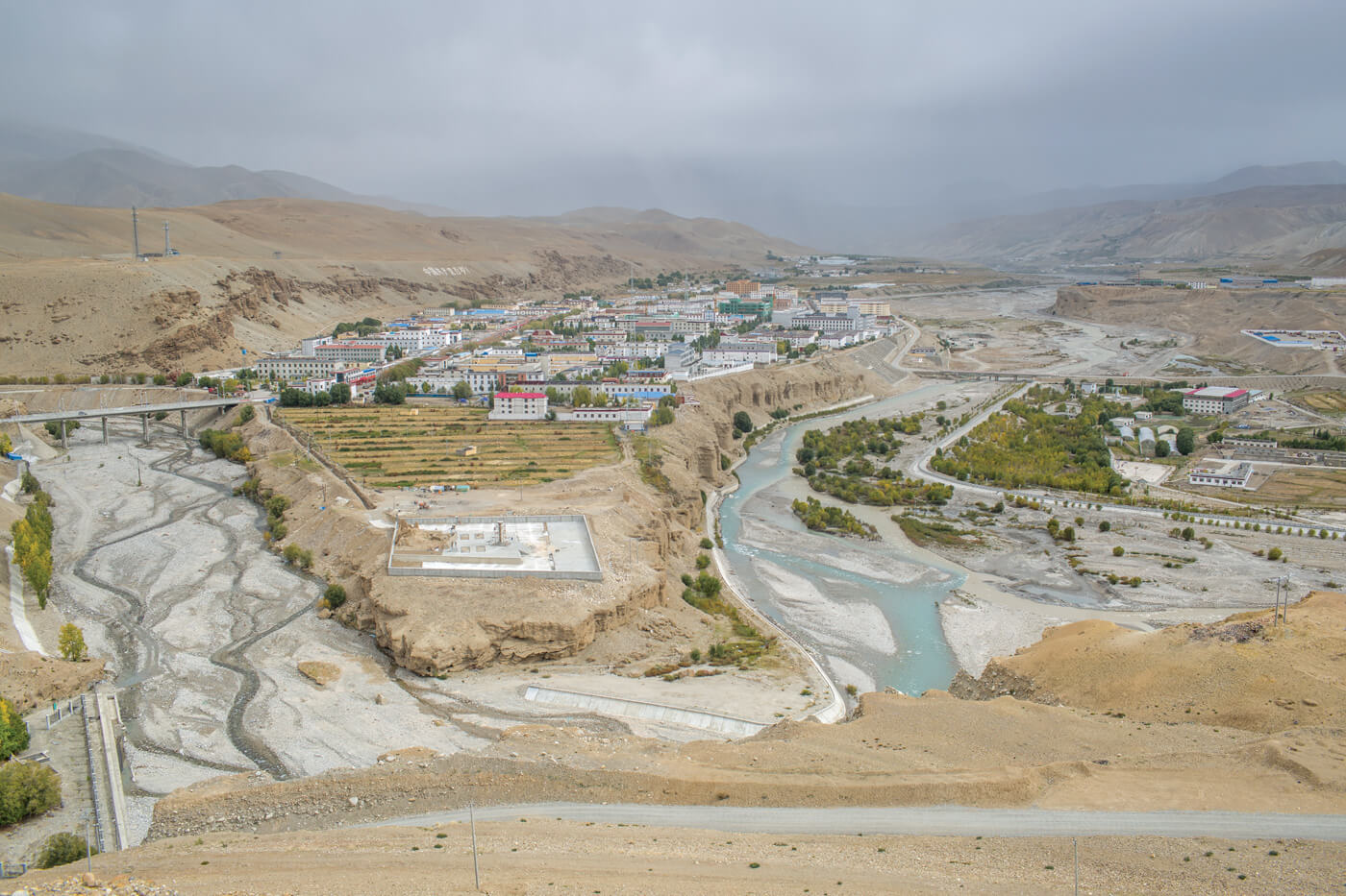
The spring in Mapchu Chungu gushes out of a mountainside festooned with prayer flags, 30km northwest of Lake Mansarovar and south of Mt Kailash. Further downstream, the river is harnessed for electricity that serves the traditional trading outpost of Taklakot. The roads here are smooth, the river banks are protected by concrete embankments, there are transmission lines.
Across the Karnali on the Nepal side, however, Hilsa is in darkness. Pema Aangmo runs a lodge here for pilgrims and tourists, and speaks frankly about Nepal government's neglect of this farflung border town.
“For us to go to Kathmandu, it takes weeks to walk and much money to fly, we are so far away no one listens to us,” she says bitterly.
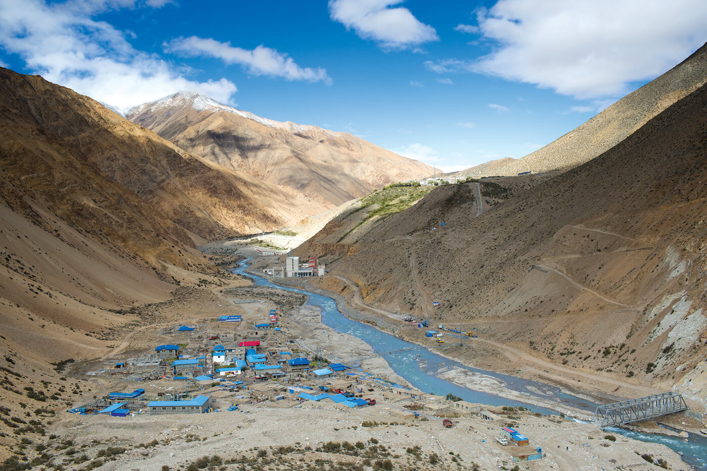
Hilsa may be underdeveloped, but the sound of helicopters ferrying Indian pilgrims from Simikot is constant. Living standards have improved, but Aangmo is worried about floods if the dam the Chinese have built on the Karnali upstream bursts.
From here, the Karnali flows through Nepal’s underserved districts of Humla, Bajura, Kalikot, Dailekh, Achham and Surkhet. There is a lot of despair along the river. “We are too poor to make the pilgrimage to Kashi, and it will be this river that will take our ashes down,” says Dila Sunar in Danda Phaya village of Humla.
But change is underway. Dynamite blasts reverberate in the gorges, as the Army builds a new road to connect China. Geo-morphologist Karen Bennett on our team was aghast at the unnecessary destruction.
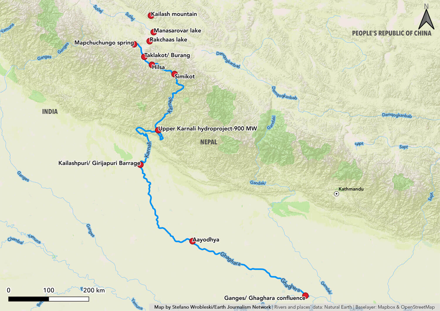
Map: STEFANO WROBLESKI
“Roads are necessary, but this construction is dangerous, making the settlements along the river vulnerable,” she says.
Despite the stunning unspoilt scenery, Karnali has been too remote for tourism. Except for Indian pilgrims flying overhead, or the occasional rafters, there are no outsiders here.