
The Chure or Siwalik Range is the first of several folds of mountains that rise from Gangetic plains up to the highest peaks in the world.
The Chure extends east-west for more than 1,600km from the Tista River, across Nepal, northwestern India, and into northern Pakistan, rising to an average elevation of about 1,000m.
In Nepal, the Chure hills cover about 13% of the country’s total area, and is geologically and ecologically fragile. It is rich in biodiversity and provides ecosystem services to millions of people in the Nepal Tarai and India.
Population growth and migration have reduced the Chure’s forest cover, with human encroachment, forest fires, sand excavation, stone quarries, all adding to the destruction.
Read also: Hiding their head in the sand, Ramu Sapkota
The Nepal government launched the President’s Chure Conservation Program in 2011 to protect this fragile landscape, with the Chure Tarai-Madhesh Conservation Development Board implementing various activities for its sustainable conservation and restoration.
The Chure started rising from the plains 40 million years ago as the Himalayan mountains were thrust upwards. The range varies in elevation and width, being narrowest and lowest in the east, and highest and broadest in the west.
In the east, the Chure directly adjoins the Mahabharat Range in some places, while further west it is often separated by broad valleys of the Inner Tarai (Bhitri Madesh). In some places, the Chure itself bifurcates into two ranges with valleys in between, like in Dang and Deukhuri.
Read also: “Business, bureaucracy and politicians all plundering the Chure”, Nepali Times
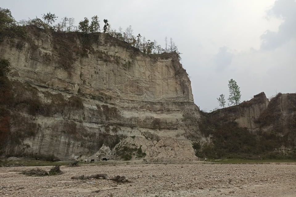
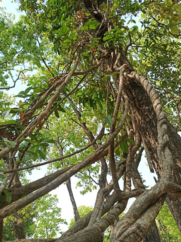
The Chure is made up of soft, very erodible sediments that form gullies and sharp ridges. Because of its fragile geomorphology and lack of water the Chure was in the past sparsely populated with few settlements. But since the 1980s, there has been migration into the region leading to forests being converted to farms and pastures.
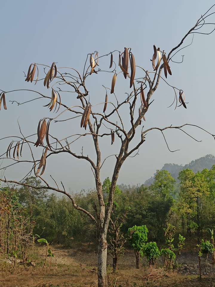
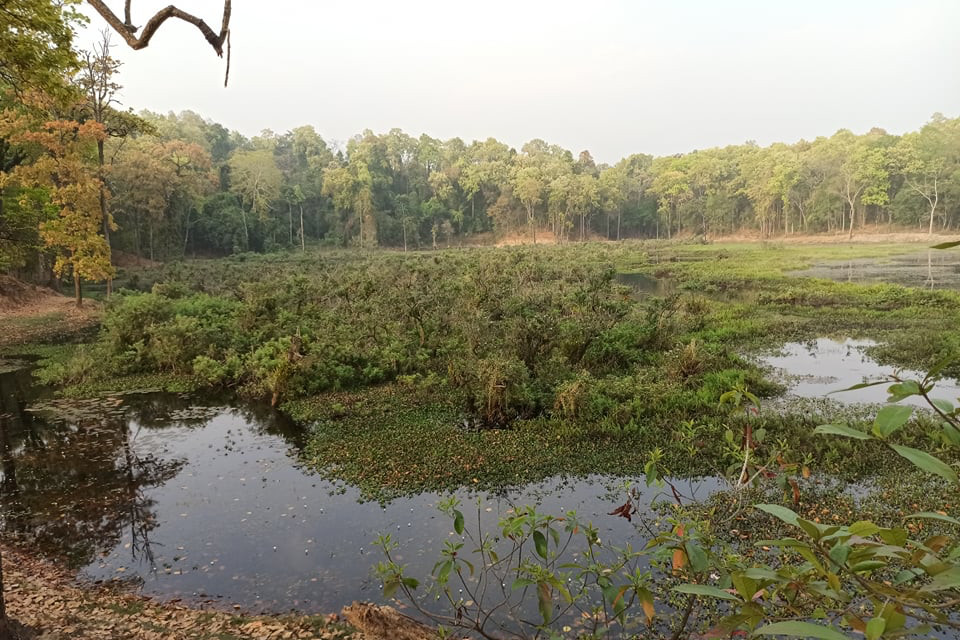
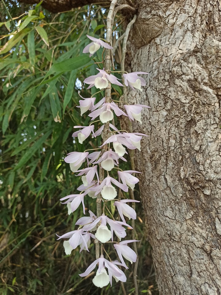
The Chure landscape in Nepal is the home to mega-fauna like the tiger, elephant, rhinoceros, wild buffalo and many other flagship species. The region is the home to over 41 species of mammals, 379 varieties of birds (43% of the total bird species in Nepal), 24 species of amphibians and 75 species of reptiles, 279 species of butterflies, and 104 species of fish.
There is now a network of protected areas in Tarai-Chure including the Kosi Tappu, Chitwan National Park, Bardia National Park, Parsa National Park, Banke National Park, Sukla Phanta as well as wildlife corridors linking them to conservation areas in the Mahabharat as well as in India. The Chure alone has dozens of the 118 ecological systems that have been identified in Nepal. The Chure’s fragile geology makes it prone to landslides, flood and erosion. But with the forest cover gone due to cultivation, settlements, wildfires and sand-boulder mining, it becomes even more vulnerable. All these factors are further exacerbated by the climate crisis leading to extreme weather.
Read also: Crushing tale of the Chure, Sameen Raut and Dinesh Panthi
The whole Nepal, including Chure, has a prolonged dry period lasting from September to June. Climate change has extended the drought, or brought excessive unseasonal rainfall. As it is, the monsoon rains are intense and tend to be even more destructive wherever the Chure is denuded.
Wildfires then destroy what is left of the vegetation, and are mostly human-induced. The protection and conservation of the Chure landscape is important not just for the people living there, but also because of magnified impact on farms and towns downstream.
Read also: Drawing a line in the sand, Bhrikuti Rai
Achyut Tiwari is plant ecologist at Central Department of Botany, Tribhuvan University and recently conducted forest ecosystem assessment outside protected areas of Chure landscape in Nepal.