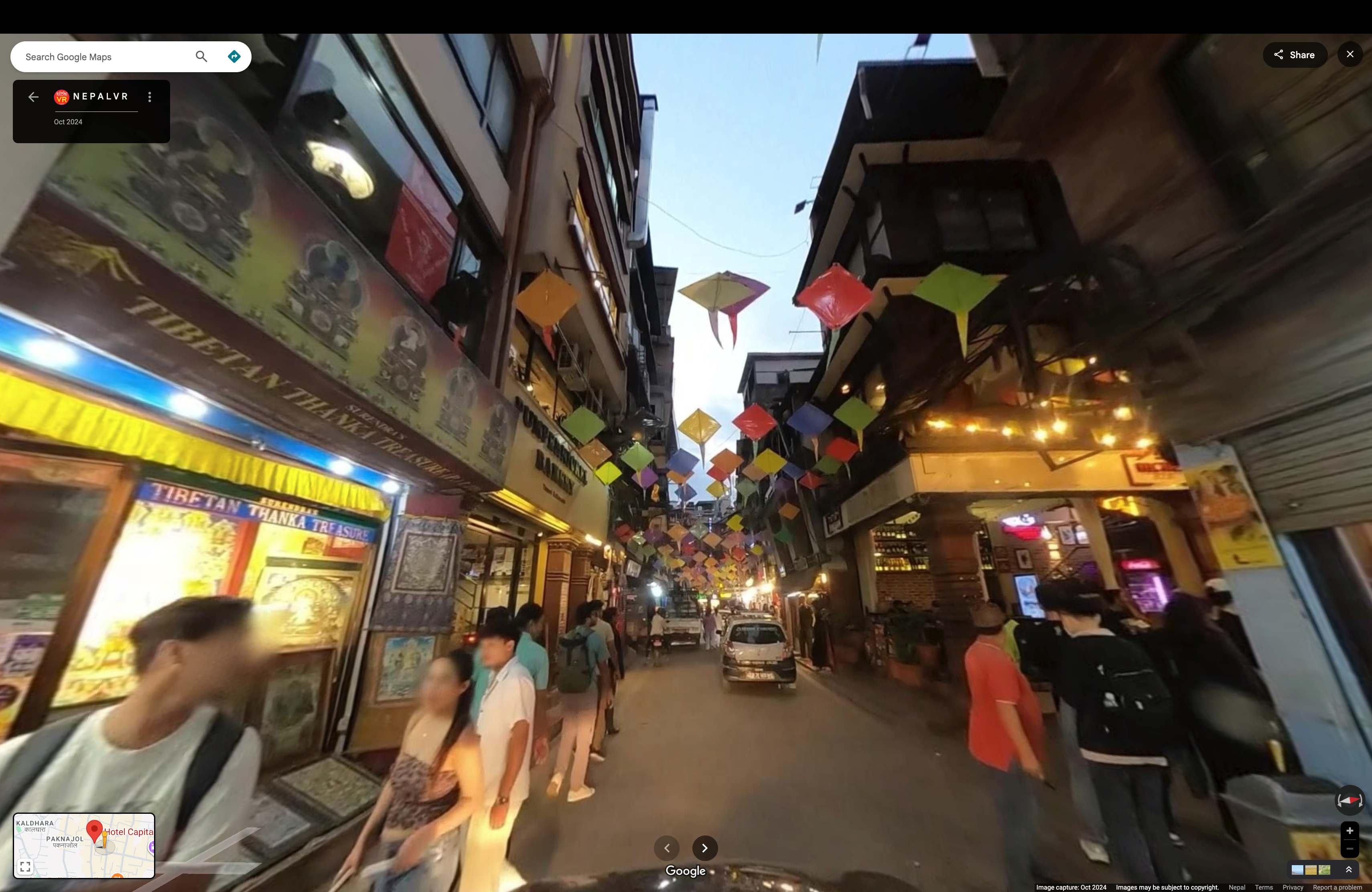
Last month Nepal was officially released on Google Street View, making it possible to virtually explore the streets of more than 60 cities and scenic highways, hopefully boosting business and tourism.
Just open up maps.google.com, click on the little yellow Peg Man, and drag him to an area on the map. In future, Street View Nepal may serve as an important archive of what Nepal used to look like.
Nepal is the 107th country to get comprehensive Street View coverage, and the fourth in South Asia after Bhutan, India, Sri Lanka, and Bangladesh.
“We used two cars, a smaller one for narrower alleys and a bigger car for wider roads,” explains Nishant Nair, who leads a team that oversees outsourced Street View operations.
Last year, a dark grey Hyundai Santro was spotted in Kathmandu with an NCTech iSTAR Pulsar, a 360-degree camera used to capture and stitch together Street View images.
In July, the process ran into problems in Bharatpur, where locals thought the car was surveying the alignment of the East-West Railway. So they torched the car and detained the surveyors. Bharatpur today has zero coverage on Google Street View.
The maps have satellite images with photos from Street View Cars or contributors. The data is from official street maps. Says Nair: “Our AI algorithms can then analyse photos for street names, turn restrictions, and number of lanes to build a comprehensive map of the country.”
From the pictures, Google’s AI can also extract information about ‘places of interest’, helping small businesses be visible on the internet.
Dipesh Lamsal, CEO of Mahalaxmi Bikas Bank, says that hotels, restaurants, and tour operators benefit from the maps because it brings global visibility: “For us banks the technology can support Know Your Customer (KYC) verification, helping us confirm locations, assess businesses, and strengthen due diligence.”
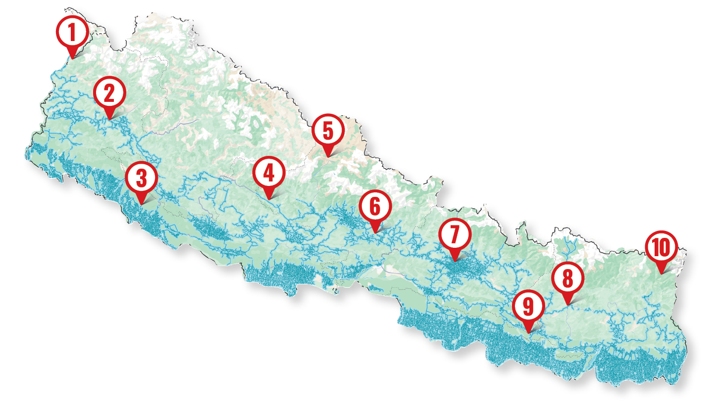
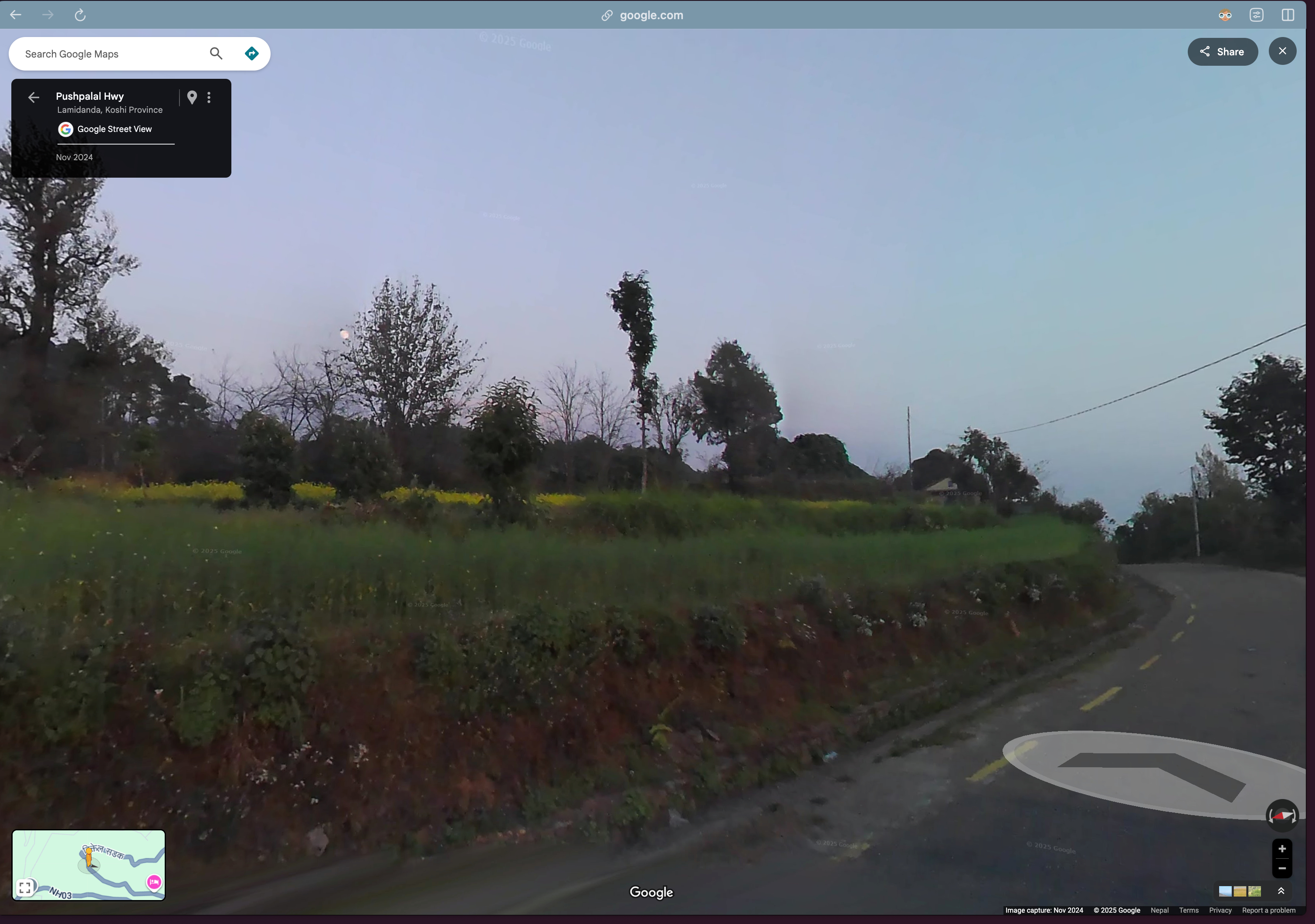
The network of coverage of Street View is denoted by a road glowing blue, with roads in cities and towns mostly featured. The Tarai has a denser road network, the foothills have a few highways connecting main cities, and the mountains do not have blue at all except for some highways and popular trekking routes.
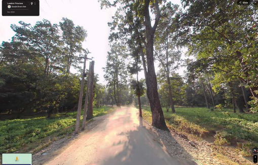
One of the biggest users of this feature will be Nepalis themselves, as domestic travel gets more popular than ever this holiday season. Trekking trails are now also on Google maps with embedded views of scenic areas.
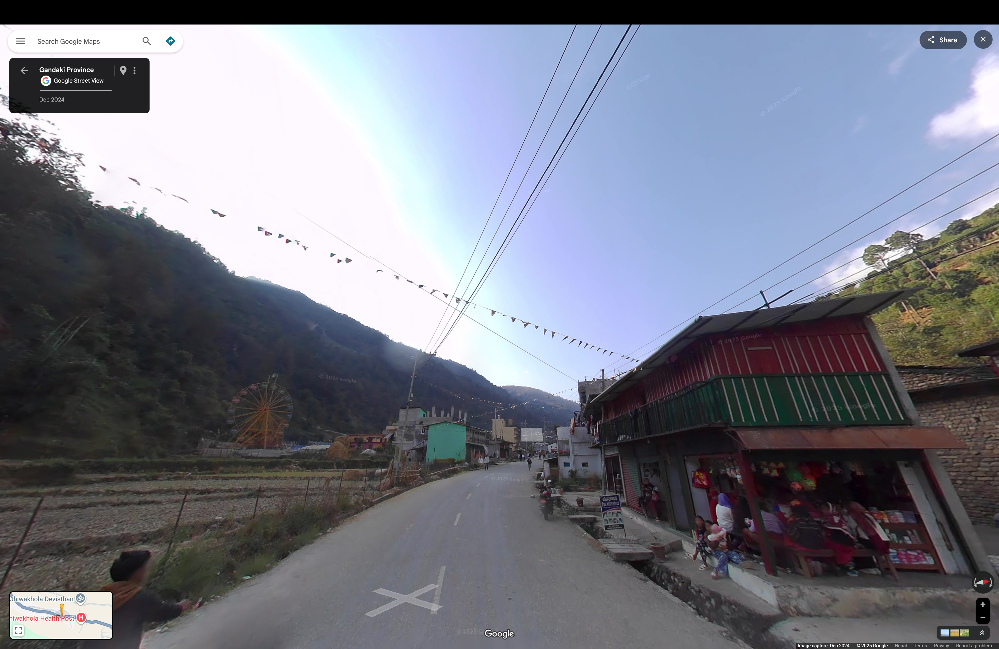
What is striking is how similar cities look across Nepal — the same cement ads painted to the sides of buildings, the same shutter pasal, and haphazard overhead wires. Towns on the other side of the border look fundamentally the same except for billboards for Indian companies like Jio Mobile.
Connectivity
As ride-sharing and e-commerce expands, tech-based companies need accurate data about locations, and directions to them. Rather than develop their own databases and maps from scratch, it makes sense to use existing Google Maps.
Mapping services get paid a small amount every time another app asks to search for a location, or to calculate the optimal route between two specific places. They may also allow auto-completing searches or calculating just the distance between two locations instead of the best route.
There is one problem: Nepali companies cannot afford to pay for this data from Google Maps — especially with 1 USD hitting Rs142 this week. And that is where Nepali mapping companies like Baato and Galli Maps come in.
“We built Baato because we wanted to empower business, but over time we realised that bad maps isn’t only a business concern, it’s annoying for regular individuals too,” says Prithvi Khakda, Baato’s investor and business developer.
One problem Khadka faces is the lack of trained technicians to take existing data about a customer and predict their preferences. Skilled people are rare, and once hired and trained in data manipulation, they will likely emigrate. Khadka’s solution is to use an agency to do the work, but that raises privacy issues.
Khadka recently pitched Baato Maps on Shark Tank Nepal, successfully snaring a Rs24 million investment from Hem Raj Dhakal of IME for 40% of the company. Details of the deal will be finalised after Dasain, and Khadka says being on the show has given Baato better visibility: “The dynamic has flipped. Companies are now coming to us, instead of us going to them.” One of the new clients is all-electric ride-hailing service eDrive Nepal.
Baato Maps’ main selling point is accuracy: it updates the changing nature of streets and locales with verification tools so users do not waste time chasing dead ends. “Building a map is challenging because it reflects all the changes that happen in real life,” says Khadka.
Baato also makes it quick to find areas that would be of immediate locale interest, such as ATMs, bus stops, and EV Charging stations. In future it will recommend local restaurants and businesses to customers based on location, and perhaps tie-up with IME Pay’s inDrive.
Galli maps serves companies like Hamrobazar, WorldLink, eSewa, Foodmandu, Sajilo Rides, and others. Founder Raj Bikram Maharjan says the company got a start from the government’s attempt to solve the addressing problem by numbering houses in 1998.
Read also: Navigating Nepal with new digital maps, Shristi Karki
“That was a revolutionary concept, but there was actually no way to see the numbers and use them to locate, and Lalitpur then numbered houses in 2019, but had the same problem,” recalls Maharjan who faced the issue firsthand when he tried to order an oximeter for his sick mother during Covid and was stuck giving directions on the phone for half an hour.
Galli Maps also has a 360 degree street view feature, covering Kathmandu, Pokhara, Everest Base Camp, and Annapurna Base Camp, although it is not something it spends a lot of resources to maintain.
Maharjan is excited about Google Street View now being a thing, and used to contribute to the service in 2014. Google was quite stealthy about carrying out mapping, but they need not have been because when Galli went to the Ministry of Communication and Technology, it said it did not need permission because it was not filming, just pictures.
Galli does work with the government in other ways: re-mapping locations every year to update data, and also recent information from the Department of Roads. It has also tried a reporting feature so users could report accidents, potholes, trash buildups, and fires. This feature was scrapped after government departments did nothing about the complaints.
Galli is planning for more use cases for its map application in future, including live tracking of festivals like Indra Jatra, which this year starts on 6 September with chariot pulling.
“I love to attend these jatra, but the problem is nobody knows exactly where the rath or lakhey are at any given time. Locals give directions, but the processions have moved by then,” says Bikram.
Besides Baato and Galli, there are companies like Thegana which look to solve the addressing problem by digitising locations by assigning unique Thegana Codes to them. Another is Trackon Nepal, which offers vehicle tracking and fleet management solutions using small GPS devices and mobile data.
Trekking Views
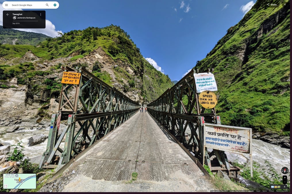
Google Street View covers roads, but what about Nepal’s trekking trails? Now that the two main mobile telephone providers have built towers along the main trekking routes, it is possible to geolocate on online maps that show hiking paths.
Better coverage would give trekkers an idea of the facilities they can expect en route, views that await them, and even weather alerts to warn of impending blizzards, landslides or avalanches.
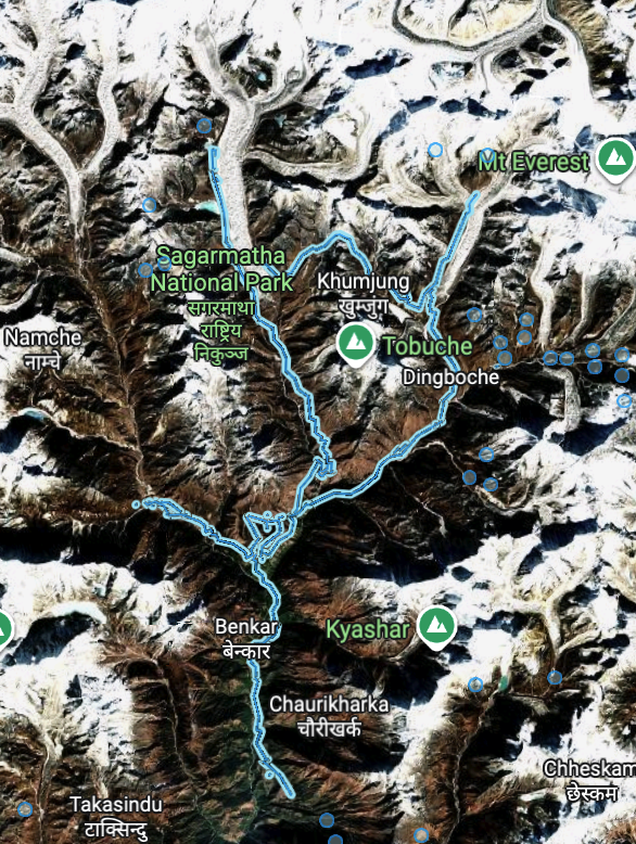
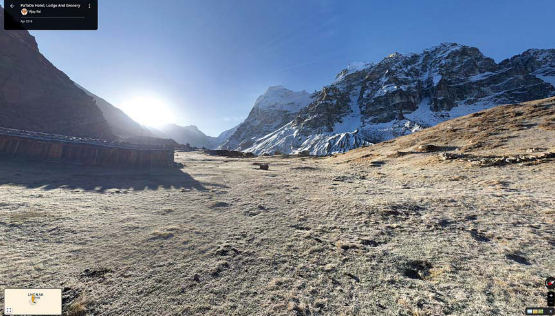
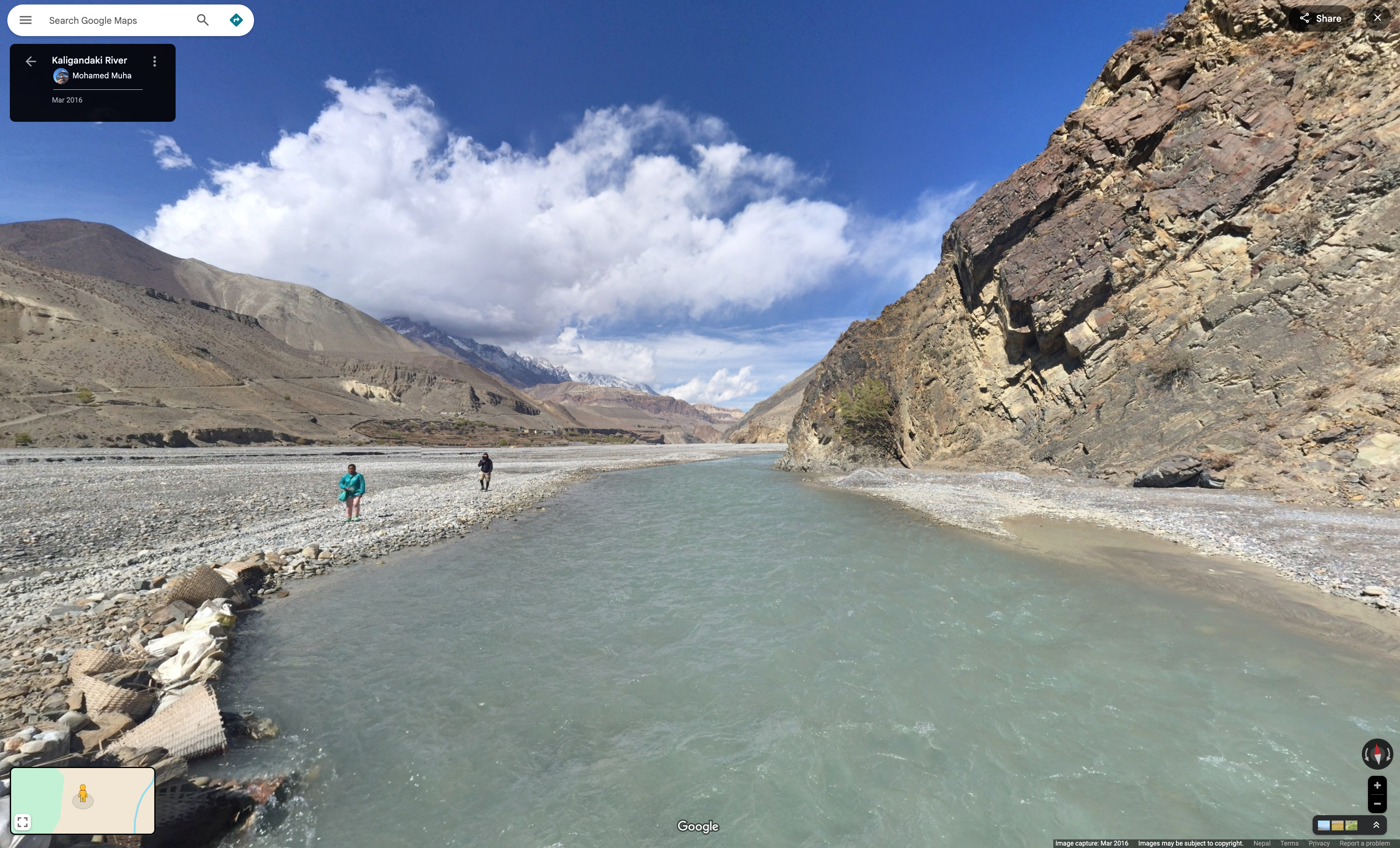
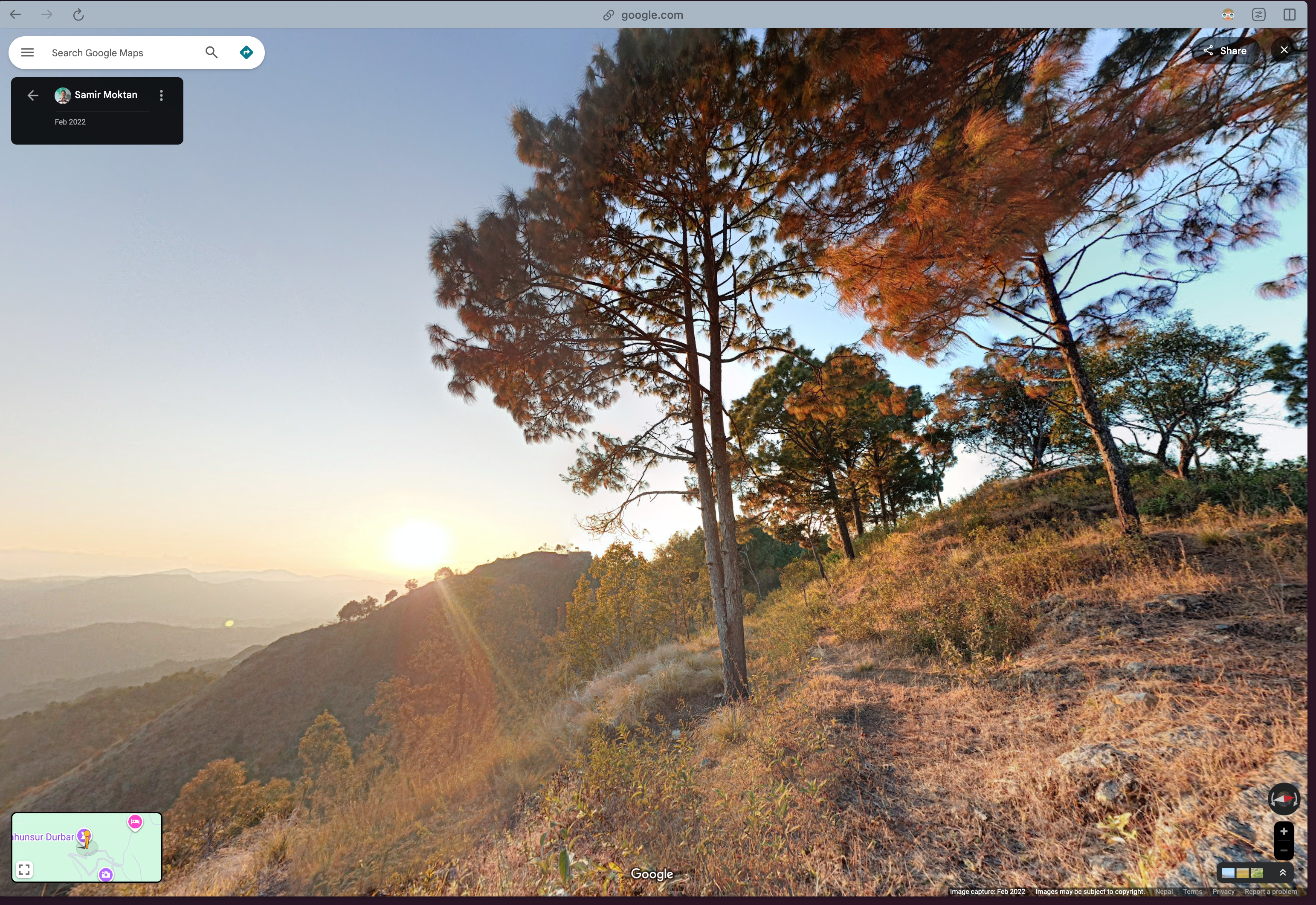
As more Nepalis travel within the country, they are uploading photos along the way. Two areas in the mountains that are partially covered on Google Street View are the Annapurnas and the Everest Trail. In Annapurna, the coverage is along the Beni-Tatopani-Jomson-Kagbeni route, including of the Kali Gandaki River. Most contributors are individuals.
In the Khumbu area, there was a concerted effort in 2014 by a Google Maps team to create videos and an interactive website with places to explore in Lukla, Namche Bazaar, Thame, Khumjung and Phortse. Explorable views of the German Bakery at Lukla Airport, a Yak Parking Lot, and the Sir Edmund Hillary School reveal what life is like in the area.
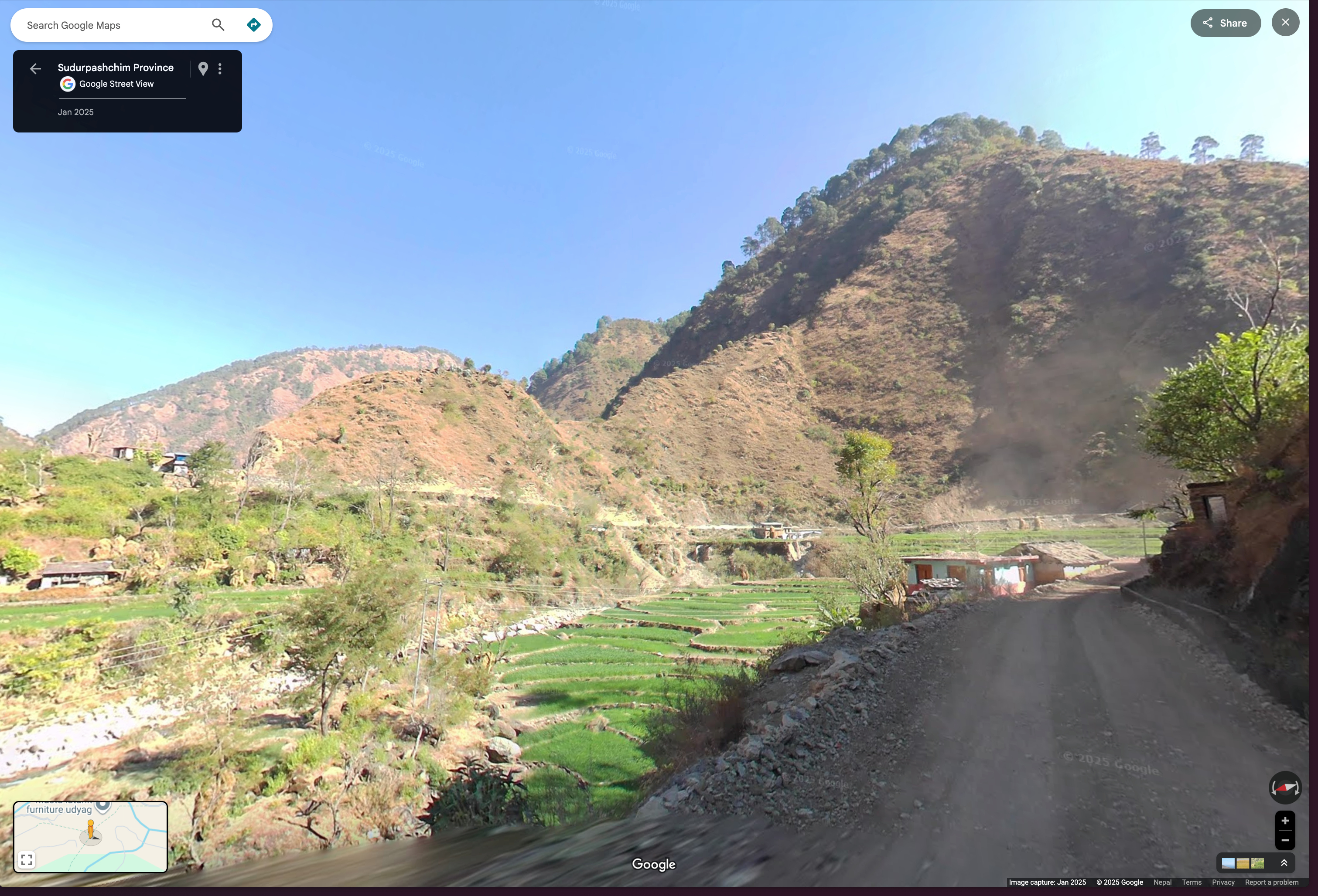
This is a project that could be undertaken quite easily by the government working perhaps with tour operators and individual trekkers with 360 degree cameras that cost about $200. Documenting routes in the Far-West hills, perhaps showing that facilities do exist, could be vital to increasing tourism and the economy in the region.