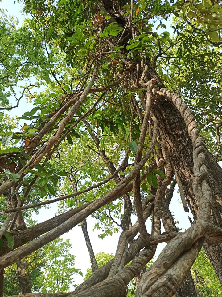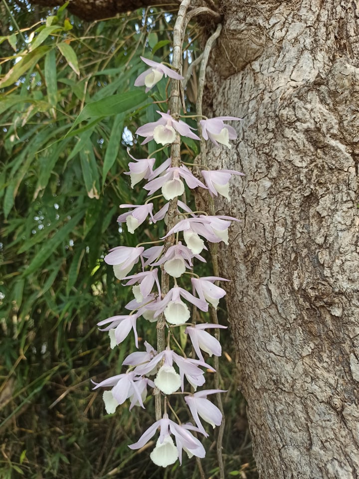
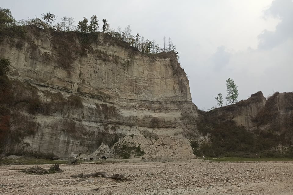
The Chure or Siwalik Range is the first of several folds of mountains that rise from Gangetic plains up to the highest peaks in the world.
The Chure extends east-west for more than 1,600km from the Tista River, across Nepal, northwestern India, and into northern Pakistan, rising to an average elevation of about 1,000m.
In Nepal, the Chure hills cover about 13% of the country’s total area, and is geologically and ecologically fragile. It is rich in biodiversity and provides ecosystem services to millions of people in the Nepal Tarai and India.
Population growth and migration have reduced the Chure’s forest cover, with human encroachment, forest fires, sand excavation, stone quarries, all adding to the destruction.
Read also: Hiding their head in the sand, Ramu Sapkota
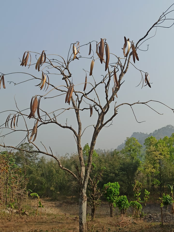
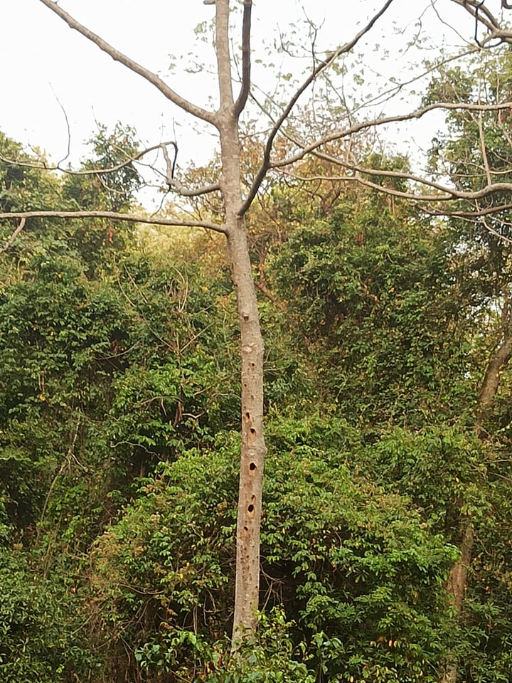
The Nepal government launched the President’s Chure Conservation Program in 2011 to protect this fragile landscape, with the Chure Tarai-Madhesh Conservation Development Board implementing various activities for its sustainable conservation and restoration.
The Chure started rising from the plains 40 million years ago as the Himalayan mountains were thrust upwards. The range varies in elevation and width, being narrowest and lowest in the east, and highest and broadest in the west.
In the east, the Chure directly adjoins the Mahabharat Range in some places, while further west it is often separated by broad valleys of the Inner Tarai (Bhitri Madesh). In some places, the Chure itself bifurcates into two ranges with valleys in between, like in Dang and Deukhuri.
Read also: “Business, bureaucracy and politicians all plundering the Chure”, Nepali Times
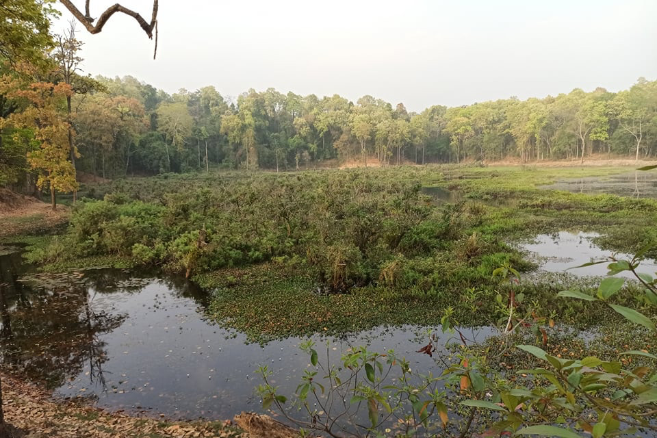
The Chure is made up of soft, very erodible sediments that form gullies and sharp ridges. Because of its fragile geomorphology and lack of water the Chure was in the past sparsely populated with few settlements. But since the 1980s, there has been migration into the region leading to forests being converted to farms and pastures.