
As Nepalis, we navigate narrow gallis, winding streets, construction work, and traffic jams every day. Due to the unplanned nature of Nepal’s roadways that did not follow ancient city plans, and fast-paced urbanization, digital navigation in Nepal is a major challenge.
The limited mapping data available in Nepal, provided by apps like Google Maps, creates a host of issues for Nepal’s businesses as well as anyone unfamiliar with a certain area. Now a few Nepali companies are creating digital navigation tools catered to Nepali culture and infrastructure.
In countries such as the United States and Colombia, streets are named based on a system of nomenclature that aids navigation. For example, roads in New York City that run north to south are called avenues and those that run east to west are called streets. This system, combined with a grid format for cities or numbered street names, makes navigating through the city simple.
Unlike New York City, a “young” city when compared to Kathmandu, urban planning was not a priority for most of Nepal's recent history. As the population of the urban centers increased exponentially and cities expanded, navigation became more confusing and complex,
Read also: Nepal’s e-conomy rapidly goes digital, Saniaa Shah
Unclear street names, unnamed side-streets and alleys, a lack of defined landmarks, and poor infrastructure to aid navigation has led to adoption of a simple yet logical system of navigation. Nepalis show, communicate, and share directions to a desired location with the help of commonly recognizable landmarks and pointed fingers.
This moderately effective system of navigation does not translate well into the digital tools in the market. When using Google Maps, for example, the gaping issues in mapping data regularly lead users to dead-ends, roads inappropriate for their vehicle, or unfamiliar neighborhoods. Since Google relies on street names to show direction, it can be unfamiliar to Nepali users and lead to a confusing experience.
Relying on copy-paste solutions like Google Maps, a square peg for a round hole in Nepal, further accentuates this problem and excludes a significant portion of the population from using navigation tools that may make life better. Contemporary nations like Nicaragua that face the same issues (or even Costa Rica and Japan) show that switching to a system of systematically named streets is not well received by the population, considering residents’ comfort and familiarity with the current layout.
The incompatibility of multinational corporate solutions built for planned urban centers is only the start of the problem. The consequences of an inefficient navigation tool extend beyond individual tribulations.
Read also: Wildflower app celebrates Nepal’s flora
As a pre-emerging market, Nepali businesses require digital tools that support efficiency in operations. Since a simple text-based address is not sufficient to navigate to the desired location, commerce must bear the brunt of the impact.
Delivery drivers travel more than required because they cannot locate the destination and call customers multiple times, if not at least once, just to determine the exact address. This creates inefficiencies for businesses that prevent them from scaling up their operations.
In addition to impacting businesses, the importance of localized information and data cannot be overlooked. In Kathmandu, a local’s knowledge of the city allows for quicker and more efficient travel, considering their first-hand experiences navigating the city’s roads and gallis. Imagine a first-time visitor in Kathmandu exploring the city and its secrets without spending months or years learning how to get from place to place. That is the kind of navigation tool that would be invaluable to users, both residents and tourists.
There are Nepali companies that are creating homegrown apps to address this need and help people across the country get to where they need to go.
Read also: The new age of romance
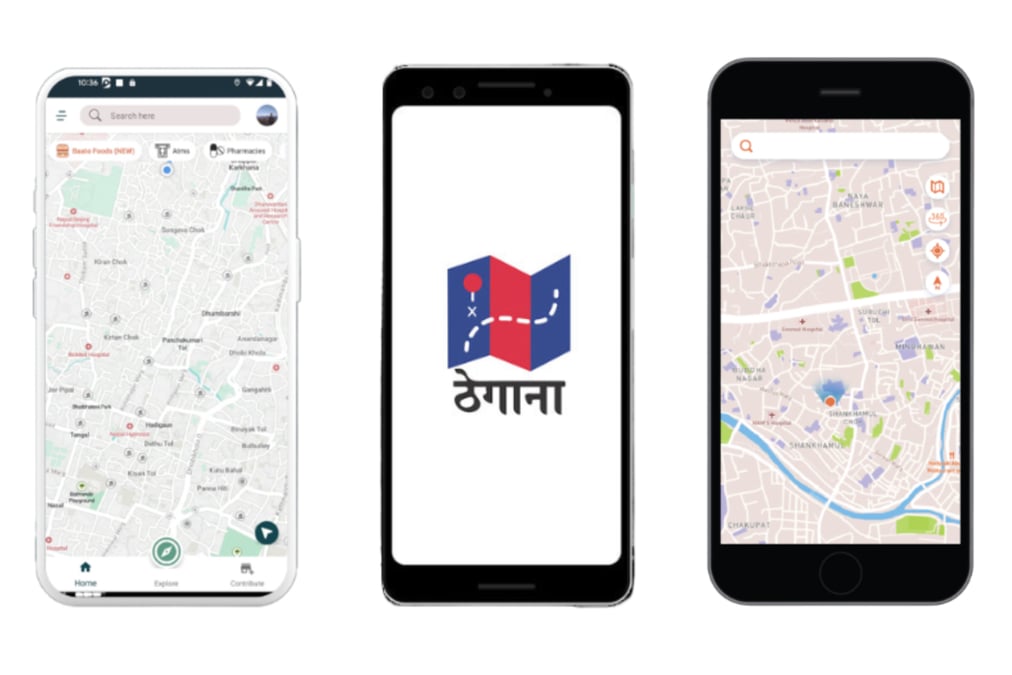
Baato Maps is a Nepali company that uses popular nearby landmarks to indicate direction. The app has unique features such as nearby recommendations for food and other essential amenities, offline maps, and supports the Nepali language to make the application more convenient for its users. Baato also provides its full suite of location and map data capabilities to budding and established businesses in Nepal to power their products.
Another company, Galli Maps, is collecting local street-view data and using drone mapping to provide localized information of our cities to users. Thegana, another local startup, aims to improve navigation efficiency by providing unique codes to each address so specific house numbers are not necessary when locating an address.
However, Nepal still has a long way to go in terms of development and it is crucial for the government and the private sector to invest in better infrastructure and mapping technology to facilitate movement and attract tourists.
Improving navigation in Nepal is essential for the efficiency of businesses and for the lives of people. Access to accurate and reliable digital maps is a precursor to improving the country and how it operates. This would not only improve the travel experience but also boost the economy, create job opportunities, and support the growth of the nation.
Read also: Tap, Track, Trace and Test, Saniaa Shah
Prithvi Jung Khadka is the Business Development Lead at Baato, a map-service provider and the Chief Performance Marketer at Digital Mercari, a digital marketing agency.